What is recorded here
Fairy fort / earthen ringfort in Kintogher is a fairy fort or earthen ringfort in Kintogher, County Sligo, Ireland. It occupies the level summit of a broad east-west ridge in pasture. A thirty-one-metre circular area sits inside a broad earth and stone bank, while a wide fosse runs along the outside. The south-east entrance remains marked by an eight-metre break and a modern ramp.
Situated on level summit of a broad E-W orientated ridge in pasture. Raised circular area (diam. 31m) enclosed by a broad bank of earth and stone (Wth 5.4m; int. H 0.2m). At the external foot of the bank is a fosse (Wth 4m). From S-SW the bank is absent and the site is defined by a scarp (ext. H 1.3m). The fosse is almost entirely infilled and is barely visible. It is absent NW-NNE where an ENE-WSW orientated field boundary has been constructed upon it. A break (Wth 8m) in the bank, and a modern ramp to the exterior, at SSE marks the position of the original entrance.
Compiled by: Patrick F. O'Donovan
Date of upload: 21 April 2011
The monument record does not grant public access. Check the route and ask the landowner before entering private land.
- What survives
- Recorded monument
Places near here
 Enclosure in Tully (carbury By., Drumcliff East Ed)Enclosure · 603 yd
 Tober ColumbkilleArchaeological place · 638 yd
 Flour millMill, unclassified · 1167 yd
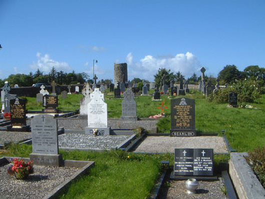 graveyard/cemeterygraveyard/cemetery · 1.0 mi
 Drumcliff CemeteryGraveyard · 1.1 mi
 Grave of WB YeatsHeritage attraction · 1.1 mi
 CastleCastle, unclassified · 1.4 mi
 Castle (in Ruins)Castle, unclassified · 2.3 mi
 Floods WoodForest · 2.5 mi
 European BeechEuropean Beech · 2.5 mi
 Kings MountainMountain / peak · 2.8 mi
 Finned PointHeadland · 2.8 mi