
What is recorded here
Not indicated on any edition of the OS maps, this possible ringfort was discovered in 2013 in the course of a review of LiDAR data where it is visible as a raised enclosure (diam. c. 40m NW-SE x c. 30m NE-SW) (pers. comm. Dr Steve Davis, UCD). A possible barrow (SL008-199----) adjoins it at the NW.
The attached image is uploaded courtesy of Dr. Steve Davis, UCD.
Compiled by: Paul Walsh
Date of upload: 08 November 2013
The monument record does not grant public access. Check the route and ask the landowner before entering private land.
- What survives
- Recorded monument
Places near here
 Tober ColumbkilleArchaeological place · 340 yd
 Tober Columbkille (Site of)Holy well · 350 yd
 Flour millMill, unclassified · 1533 yd
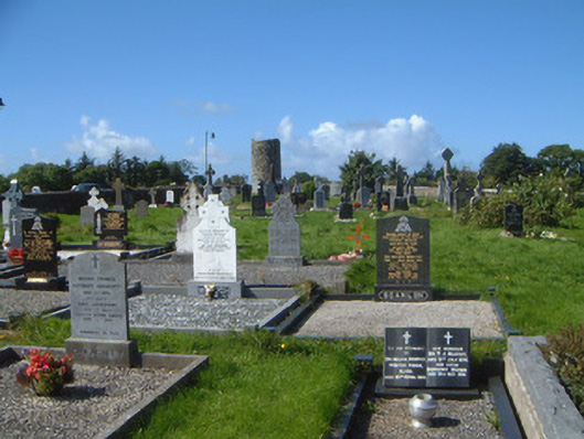 graveyard/cemeterygraveyard/cemetery · 1.0 mi
 Drumcliff CemeteryGraveyard · 1.0 mi
 Grave of WB YeatsHeritage attraction · 1.1 mi
 CastleCastle, unclassified · 1.6 mi
 Castle (in Ruins)Castle, unclassified · 2.2 mi
 European BeechEuropean Beech · 2.4 mi
 Kings MountainMountain / peak · 2.5 mi
 Floods WoodForest · 2.6 mi
 Finned PointHeadland · 3.0 mi
Other information
Photo: Credit not shown in the picture search · Rights wording not checked; contact us if this picture should be removed