What is recorded here
Fairy fort / earthen ringfort in Kiltylough is a fairy fort or earthen ringfort in Kiltylough, County Sligo, Ireland. The site occupies rough pasture on a southeast-facing ridge above Lough Bo. An overgrown earthen bank and external fosse mark the western arc of a rath about twenty-five metres across. Field boundaries now touch the bank at its southern and southwestern edges.
In rough pasture, on the SE-facing slope of a ridge overlooking Lough Bo. An overgrown arc (C 20m) of earthen bank (Wth 4m; int. H 0.8m; ext. H 1.2m) S-N with an external fosse (Wth 2m; D 0.8m) along the NW arc. The bank and fosse formed the W arc of the rath (diam. c. 25m) indicated on the 1838 OS 6-inch map. An E-W field boundary adjoins the bank at S and a N-S field boundary adjoins it at SW.
The above description is derived from the published 'Archaeological Inventory of County Sligo' compiled by Ursula Egan, Elizabeth Byrne, Mary Sleeman with Sheila Ronan and Connie Murphy (Dublin Stationery Office, 2005).
Date of upload: 18 January 2008
The monument record does not grant public access. Check the route and ask the landowner before entering private land.
- What survives
- Recorded monument
Places near here
 Sweat Ho. (1838).Sweathouse · 379 yd
 Penitential station in CoollemoneenPenitential station · 653 yd
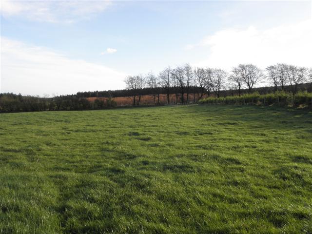 LisglassFairy fort / earthen ringfort · 752 yd
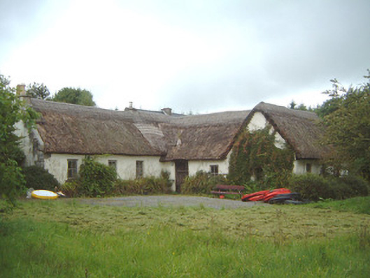 Nasool Cottagehouse · 1080 yd
 CastleCastle, motte and bailey · 1.6 mi
 Barroe NorthMountain / peak · 1.8 mi
 Ballindoon Castle (in Ruins)Castle, unclassified · 2.4 mi
 Geevagh Prisoners 1908 MemorialMemorial · 2.8 mi
 Annaghgowla IslandIslet · 2.9 mi
 InishmoreIslet · 3.0 mi
 Carrane HillCliff · 3.4 mi
 Riverstown Folk ParkHeritage attraction · 3.5 mi