What is recorded here
Kiltycarney holds a faded ring on a drumlin slope, its earthen bank barely rising above the grass while a shallow fosse cuts the earth beside it. The shape suggests people once drew a line around their lives, excluding others or marking ownership on open farmland. Nearby raths repeat the same gesture across the landscape, creating a quiet company of forgotten boundaries.
Located on the gentle NW-facing slope of a drumlin. This is a grass-covered circular area (int. diam. 21m E-W; 19.5m N-S) defined by an overgrown earthen bank (Wth of base 1.8m; int. H 0.1m; ext. H 0.45m) with an external fosse (Wth 1.9-2.5m; ext. D 0.2m) which is curtailed by a N-S field bank and townland boundary with Tully at E. The original entrance is not identified. Rath (LE031-051----) is c. 135m to the W, and raths (LE031-119----; LE031-110---) are c. 65m to the S and c. 80m to the SE respectively.
The above description is derived from 'The Archaeological Inventory of County Leitrim' compiled by Michael J. Moore (Dublin: Stationery Office, 2003). In certain instances the entries have been revised and updated in the light of recent research.
Date of upload: 23 September 2008
The monument record does not grant public access. Check the route and ask the landowner before entering private land.
- What survives
- Recorded monument
Places near here
 IndicatedEnclosure · 358 yd
 Enclosure in GarvloughEnclosure · 1153 yd
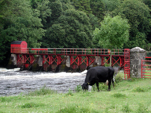 sluice/sluice gatesluice/sluice gate · 1299 yd
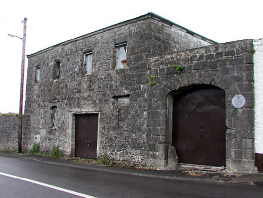 store/warehousestore/warehouse · 1383 yd
 Patrick Gill Memorial Plaque (IRA)Monument · 1.5 mi
 Robert Strawbridge MemorialMemorial · 1.5 mi
 CastlecarraCastle, unclassified · 1.5 mi
 Wildlife AreaNature reserve · 1.8 mi
 Moon RiverHeritage attraction · 2.3 mi
 Site of Dangan CastleCastle, unclassified · 3.1 mi
 Leabaidh DermotCave · 4.1 mi
 Mullinashee WoodForest · 4.8 mi