What is recorded here
Fairy fort / earthen ringfort in Kiltultoge is a fairy fort or earthen ringfort in Kiltultoge, County Roscommon, Ireland. It is a subcircular grass-covered platform on a gentle south-facing slope, measured twenty-four point three metres east-west and twenty point three metres north-south. A broad shallow fosse defines the platform, while a road bank circumscribes the monument east-southwest and straight field banks surround it at north and west. The western field bank truncates the fosse, and no identifiable original entrance remains because the platform perimeter is cut back in several directions.
On a gentle S-facing slope. Subcircular grass-covered platform (dims 24.3m E-W; 20.3m N-S; H 0.9-2m) defined by a fosse (Wth of top 10-11.5m; Wth of base 6-8.8m; D 0.4-1.4m). A road bank circumscribes the monument E-SW, and straight field banks surround it at N and W, that at W truncating the fosse. There is no identifiable original entrance, and the perimeter of the platform is cut back N-NE, ESE-S and SSW-WSW.
Compiled by: Michael Moore
Date of upload: 24 August 2010
The monument record does not grant public access. Check the route and ask the landowner before entering private land.
- What survives
- Recorded monument
Places near here
 Man-made underground passage in Ballymacurly SouthMan-made underground passage · 938 yd
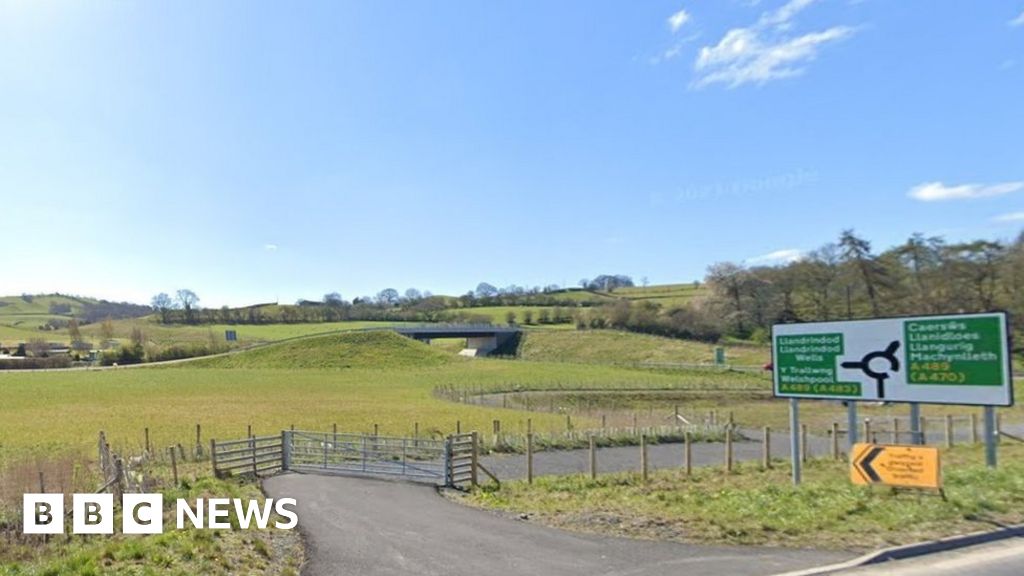 Embanked enclosureFairy fort / earthen ringfort · 1259 yd
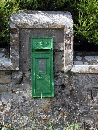 post boxpost box · 1317 yd
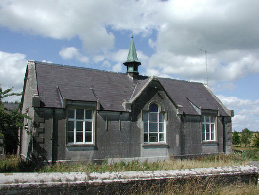 The Old Schoolhouseschool · 1337 yd
 HawthornHawthorn · 3.3 mi
 Leitrim CastleCastle, unclassified · 4.5 mi
 CastlerubyCastle, unclassified · 5.3 mi
 Roscommon CastleCastle · 5.6 mi
 European ashEuropean ash · 5.9 mi
 Site of Killomaine Grave YardArchaeological place · 7.7 mi
 Sally IslandIslet · 9.2 mi
 Mount MaryMountain / peak · 10 mi