What is recorded here
Kiltubbrid Island in County Offaly holds a broken earthen ring where a western causeway still hints at the original entrance. People called it a fairy fort, perhaps because the usual human explanation faded before the strange shape on the hill.
Located on E facing slope of high ground just below summit. Circular area (35m N-S) enclosed by an earth and stone bank (int. H 0.5m; ext. H 1.7m; Wth 1.5m) which has been reduced to a scarp at S and E. There is evidence of stone revetment on the N face. Gap (Wth 1.5m) at N may be modern. Evidence of ramped causeway at W, may be original entrance. No evidence of an external fosse.
The above description is derived from the published 'Archaeological Inventory of County Offaly' (Dublin: Stationery Office, 1997). In certain instances the entries have been revised and updated in the light of recent research.
Date of upload: 23 May 2011
The monument record does not grant public access. Check the route and ask the landowner before entering private land.
- What survives
- Recorded monument
Places near here
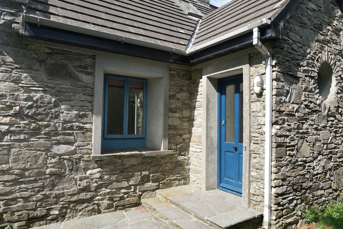 Enclosure in BallyroeEnclosure · 540 yd
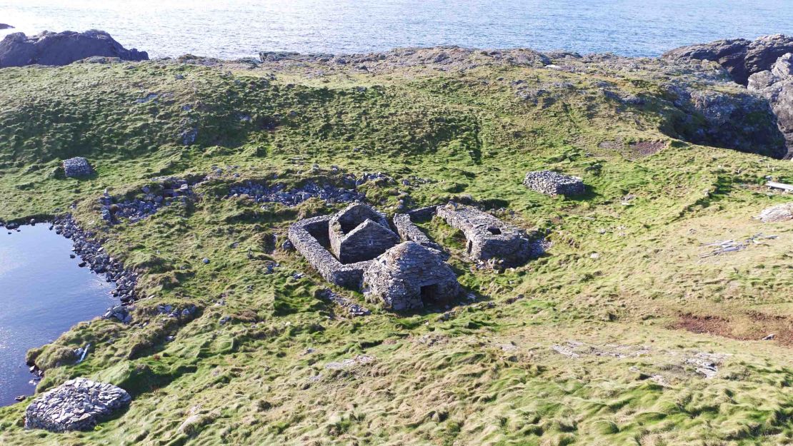 Enclosure in Kiltubbrid IslandEnclosure · 729 yd
 Bawn in Annaghmore AND AnnaghbegBawn · 946 yd
 CastleCastle, tower house · 994 yd
 Knockbarron WoodForest · 1149 yd
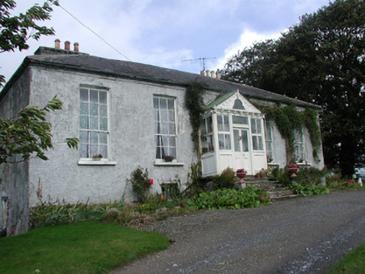 Heath Lodgehouse · 1737 yd
 Drumcullen Church in ruinsChurch · 1.5 mi
 Moneyguyneen WoodWood · 2.1 mi
 Waypoint 1Visitor information · 2.5 mi
 Castletown and GlinskVisitor information · 2.6 mi
 Kinnitty Castle LoopWalking route · 3.0 mi
 Saint Cormac's WellSpring · 3.5 mi