What is recorded here
Kiltass in County Cork holds a vanished earthen ringfort, mapping its double boundary from 1842 until ploughs erased the banks. The site is a shallow memory now, with two faint ditches marking a 38-metre circle and a deep shadow in the north-west quadrant. It is a fairy fort only in name, yet the true history is clearer in that misnomer: human hands built it, lived there, and left it to pasture, rain and forgetting.
In low-lying pasture land. Depicted as hachured circular enclosure on 1842, 1905 and 1936 OS 6-inch maps; as bivallate circular enclosure on 1905 OS 6-inch map, with outer bank not shown along SE quadrant. Levelled; circular area (c. 38m NE-SW) defined by two concentric shallow fosses (D 0.25m) N->ESE; ill defined outline visible along W half. Fosses NNE->ESE clearly visible as cropmark in aerial photograph (CASAP). Section of field boundary respecting NW quadrant of site and incorporating outer bank (1905 OS 6-inch map) also levelled. Large depression in NW quadrant of interior.
The above description is derived from the published 'Archaeological Inventory of County Cork. Volume 4: North Cork' (Dublin: Stationery Office, 2000). In certain instances the entries have been revised and updated in the light of recent research.
Date of upload/revision: 14 January 2009
The monument record does not grant public access. Check the route and ask the landowner before entering private land.
- What survives
- Recorded monument
Places near here
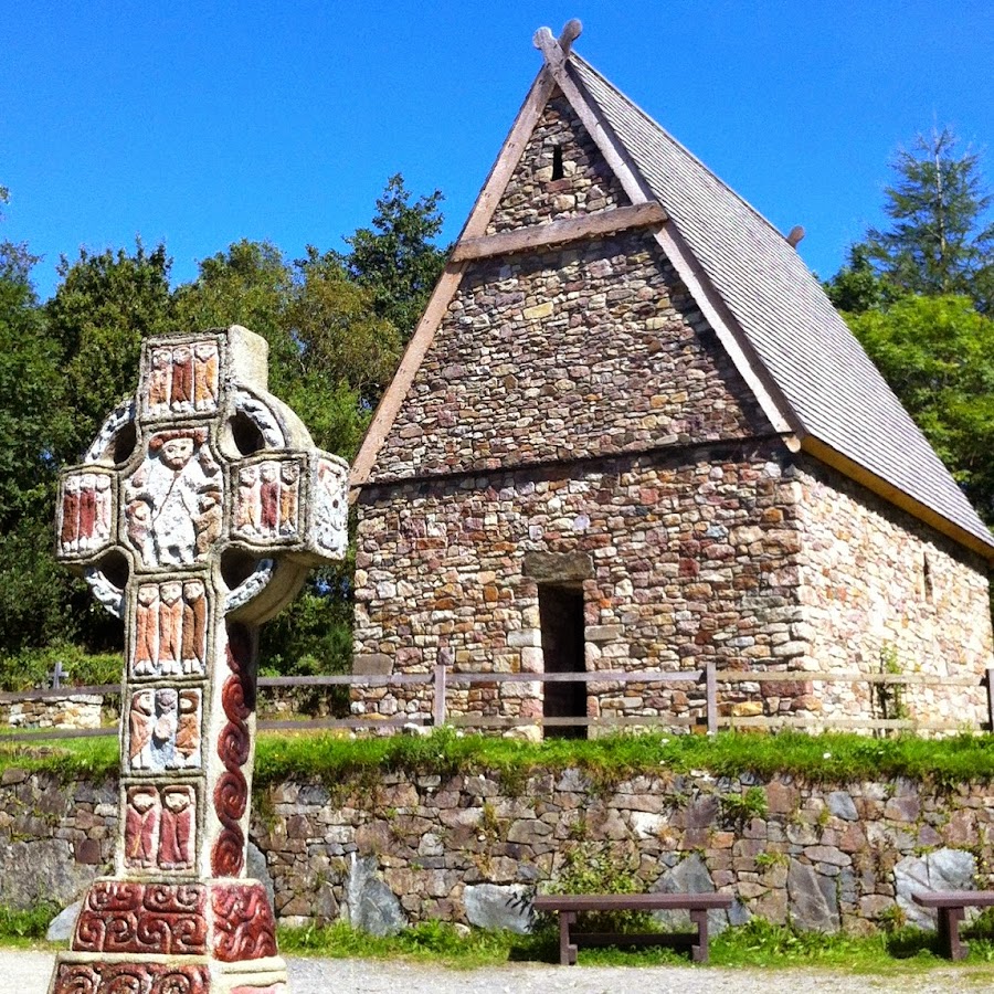 Fulacht FiadhFulacht fia · 872 yd
 Enclosure in Ardmore (orrery and Kilmore By.)Enclosure · 881 yd
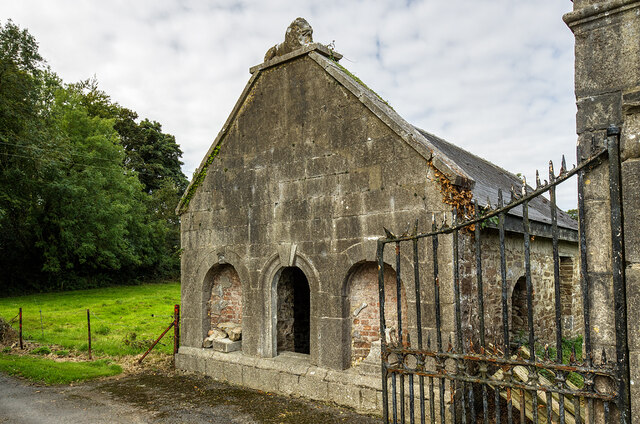 Milltown Castledemesne walls/gates/railings · 984 yd
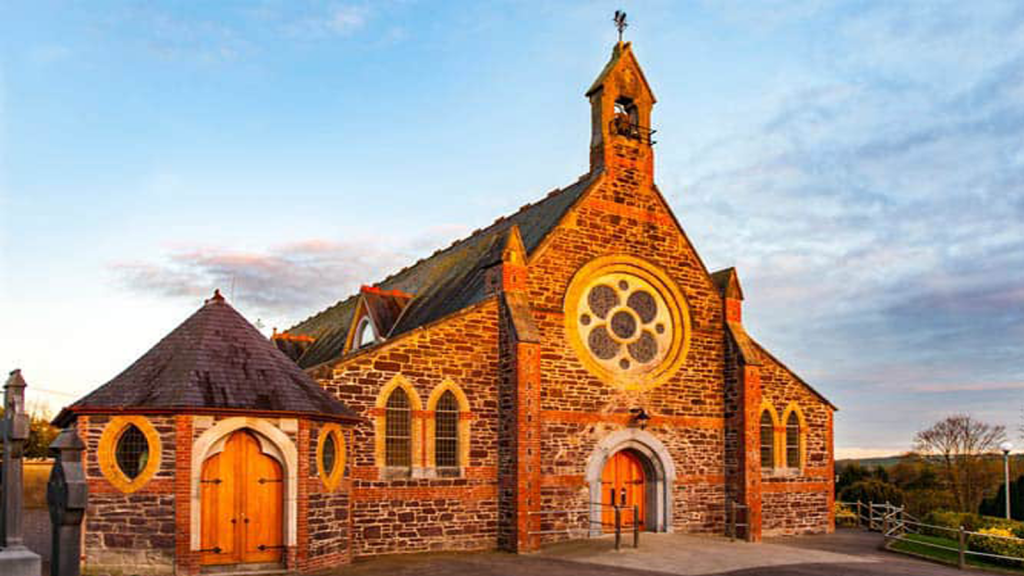 Cooliney Church (in Ruins)Church · 1200 yd
 CastleCastle, motte · 1.2 mi
 TumulusCastle, motte · 1.9 mi
 Holy Cross CemeteryGraveyard · 2.2 mi
 Windmill HillMountain / peak · 3.6 mi
 Ballyhoura WayWalking route · 3.7 mi
 CarrigeenMountain / peak · 4.4 mi
 BallinaboolaVisitor information · 4.4 mi
 ToberSpring · 4.6 mi