What is recorded here
Two earthen rings press together in Kiltanna pasture, their boundaries blurred by grass and forgotten time. The western half has vanished into dense overgrowth while the eastern edge remains visible beneath trampling hooves. cattle walk through what may have been a home, a refuge or a boundary marker for people whose names never reached us. The earth remembers shape even when human memory fails.
In level pasture. Circular area (diam. 29m) enclosed by earthen bank (int. H 0.35m; ext. H 1.45m) with an external fosse (D 0.7m; Wth 0.8m); level berm (Wth 4m) separates bank from fosse. Much of fosse infilled with dumped material. Western half of site is covered by dense overgrowth, but otherwise interior is level and under pasture. Conjoined on N side to similar enclosure (LI037-00801-); outer line of the southern enclosure is 4m due south of outer line of the fosse of northern enclosure.
Compiled by: Denis Power
Date of upload: 26 August 2011
The monument record does not grant public access. Check the route and ask the landowner before entering private land.
- What survives
- Recorded monument
Places near here
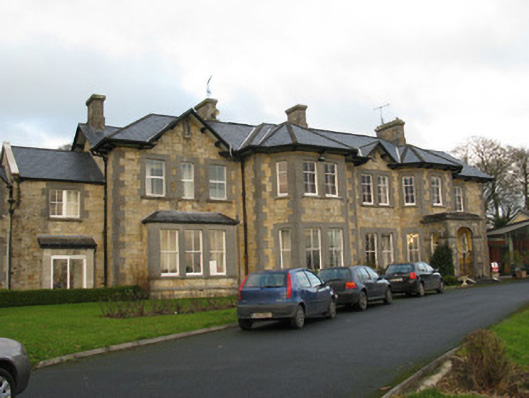 Rathfredagh Cheshire Homecountry house · 1010 yd
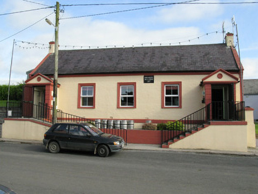 Knockaderry Hall and Libraryhall · 1436 yd
 Hut site in KnockaderryHut site · 1680 yd
 IndicatedFairy fort / earthen ringfort · 1.0 mi
 Ballynoe Castle (in ruins)Castle, tower house · 1.0 mi
 LaghtpatrickSpring · 1.6 mi
 Sunday WellSpring · 1.8 mi
 European ashEuropean ash · 2.3 mi
 CastleCastle, tower house · 2.3 mi
 Limerick GreenwayWalking route · 7.5 mi
 Ballagh MountainMountain / peak · 7.8 mi
 Sugar HillMountain / peak · 8.7 mi