What is recorded here
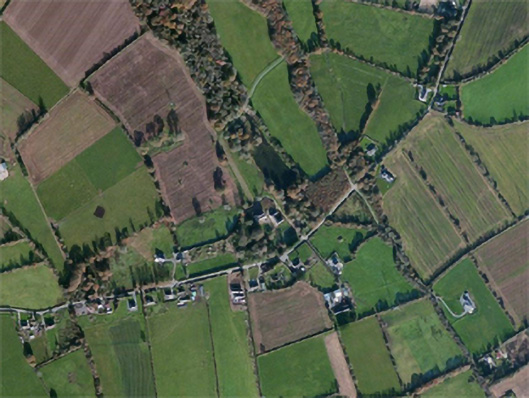
Located towards the top of the E-facing slope of a N-S ridge. The cropmark of a circular enclosure (diam. c. 30m) defined by a single faint fosse feature is visible on aerial photographs (MM (47) 26-8; ASIAP (10) 17, 20).
Compiled by: Michael Moore
date of upload: 15 October, 2012
The monument record does not grant public access. Check the route and ask the landowner before entering private land.
- What survives
- Recorded monument
Places near here
 site of ChurchChurch · 363 yd
 Carnagh Housecountry house · 1558 yd
 TobernafinogeHoly well · 1626 yd
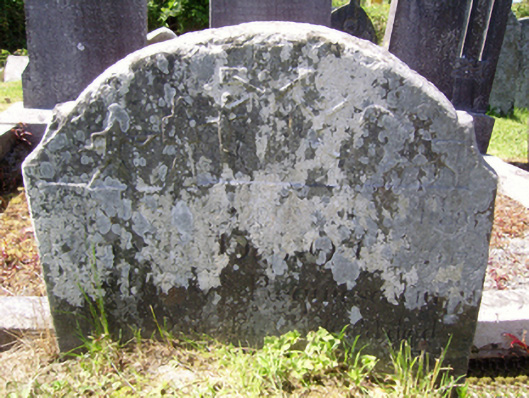 graveyard/cemeterygraveyard/cemetery · 1628 yd
 Castle (in ruins)Castle, tower house · 2.2 mi
 Castle in ruinsCastle, tower house · 2.3 mi
 Carrickbyrne HillMountain / peak · 2.9 mi
 Lacken HillMountain / peak · 3.6 mi
 Forest Of The DunbrodyForest · 3.8 mi
 Devon whitebeamDevon whitebeam · 4.4 mi
 Crutched FriarsMemorial · 5.0 mi
 Glenour MonumentMemorial · 5.7 mi