What is recorded here
Situated on a natural hillock in gently undulating grassland, with good views to NW & S. Ringfort (WM009-022----) 130m to SSW. The road which marks the townland boundary with Ballinlough is 90m to S. A raised sub-circular shaped area (approx. diam. 44m N-S) enclosed by a low earth and stone bank with slight remains of an external fosse. The bank has been disturbed in places. The interior is uneven, and rises towards the centre. There are three roughly circular depressions inside the bank on the N side. A rectangular house (WM009-021001-) is visible in the SW quadrant.
See attached plan of monument surveyed and drawn by the ASI.
Compiled by: Frank Coyne and Caimin O'Brien
Date of upload: 15 May 2017
The monument record does not grant public access. Check the route and ask the landowner before entering private land.
- What survives
- Recorded monument
Places near here
 OutlinedFairy fort / earthen ringfort · 209 yd
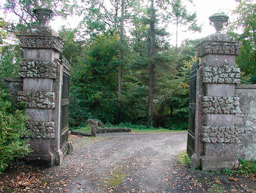 Ballinlough Castledemesne walls/gates/railings · 724 yd
 Persian WalnutPersian Walnut · 901 yd
 Dervotstown CastleCastle · 987 yd
 European YewEuropean Yew · 1030 yd
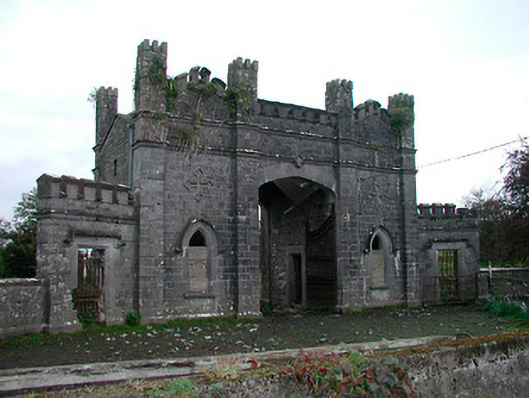 Killua Castlegate lodge · 1524 yd
 Bawn in Heathstown (delvin By.)Bawn · 1.2 mi
 Enclosure in Heathstown (delvin By.)Enclosure · 1.2 mi
 Drewstown LittleMountain / peak · 2.6 mi
 CloncatMountain / peak · 4.0 mi
 Causey FarmHeritage attraction · 4.2 mi
 FarmaphobiaHeritage attraction · 4.2 mi