What is recorded here
Kilquain is not the named place above. The facts describe a different lost ringfort in County Galway. I will not invent the missing story for Kilquain.
In marshy grassland overlooking bogland to the SW. Marked on the 1838 edition of the OS 6-inch map as a roughly circular enclosure (diam. c. 28m) and on the OS 1:2500 plan (surveyed 1912-16) as an oval enclosure (c. 31m NNE-SSW; c. 21m E-W). A short line of hachures (L 16m) running NE-SW is shown immediately to the NW. No visible surface trace survives.
Compiled by: Olive Alcock
Date of upload: 26 July 2019
The monument record does not grant public access. Check the route and ask the landowner before entering private land.
- What survives
- Recorded monument
Places near here
 St Patricks WellHoly well · 448 yd
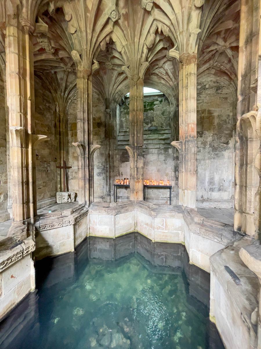 Ecclesiastical enclosure in StowlinEcclesiastical enclosure · 603 yd
 shrine/oratory/grottoshrine/oratory/grotto · 776 yd
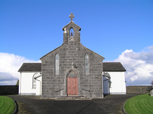 Catholic Church of Christ the Kingchurch/chapel · 777 yd
 Longford Castle (in ruins)Castle, unclassified · 2.3 mi
 Derryhiveny CastleCastle · 3.8 mi
 Silver FirSilver Fir · 4.1 mi
 Ballymacegan IslandIsland · 4.1 mi
 Long IslandIsland · 4.3 mi
 Church HillMountain / peak · 4.6 mi
 Redmond HillMountain / peak · 4.6 mi
 European YewEuropean Yew · 4.8 mi