What is recorded here
Kilpeacon, a ringfort in County Limerick, is marked as a large circular area on an 1840 map but appears as a roughly oval quarry on an 1897 map, suggesting people took stones from the ancient bank before the century closed. The earthwork still stands twenty-seven metres long, its interior level and clear, while the outer edge has become a field boundary. What was built for life and defence was reduced to a hole in the ground, yet the hole itself remains a witness to the taking.
In pasture on slight E-facing slope, 85m N of townland boundary with Newtown, on the demesne lands of Kilpeacon House located 430m to NW. Enclosure (LI022-21----) lies 85m to NW. Present remains consist of slightly raised ovoid-shaped area (dims. 27m N-S; 22m E-W) enclosed by a bank (int. H 0.25m; ext. H 0.5m; Wth 4.3m), interior level clear of overgrowth. Bank incorporated into field boundary from NE through to SSW, with disturbance at SSW. Depicted on the 1840 OS 6-inch map as a large circular shaped area enclosed by a scarp. Shown as a roughly oval-shaped quarry on 1897 OS 25-inch map. Likely that monument was partially quarried into between the map dates. Tree-covered area visible on Google Earth orthoimages.
See attached sketch plan surveyed and drawn by ASI and Google earth orthoimages
Compiled by: Fiona Rooney
Date of upload: 28 July 2020
The monument record does not grant public access. Check the route and ask the landowner before entering private land.
- What survives
- Recorded monument
Places near here
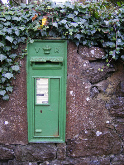 post boxpost box · 214 yd
 Partially hachuredEnclosure · 1222 yd
 Partially indicatedBawn · 1245 yd
 St. Patricks WellHoly well · 1249 yd
 RoadRoad, road/trackway · 1273 yd
 CastleCastle, ringwork · 1501 yd
 Villiers WellSpring · 1.1 mi
 Carnane RockNamed rock · 1.8 mi
 Monasteranenagh AbbeyHeritage attraction · 4.8 mi
 Biodiversity in the Maigue CatchmentVisitor information · 5.7 mi
 European ashEuropean ash · 5.9 mi
 Dysert AenghusaHeritage attraction · 6.5 mi