What is recorded here
Situated on a ridge now planted with forestry. Ringfort (WM011-066----) 165m to WSW. Ringfort (WM011-068----) 180m to SSW. A raised circular-shaped area (approx. diam. 20m E-W) enclosed by a poorly preserved earthen bank and slight external fosse. The bank is visible from NW-W & from E-SE and the fosse is only visible at NW. The interior rises towards the centre. Much of the monument has been levelled when it was planted with trees.
See attached profile of monument surveyed and drawn by the ASI.
Compiled by: Frank Coyne and Caimin O'Brien
Date of upload: 23 August 2017
The monument record does not grant public access. Check the route and ask the landowner before entering private land.
- What survives
- Recorded monument
Places near here
 Partially hachuredFairy fort / earthen ringfort · 216 yd
 Kilpatrick WellHoly well · 572 yd
 Clonhugh Housecountry house · 1179 yd
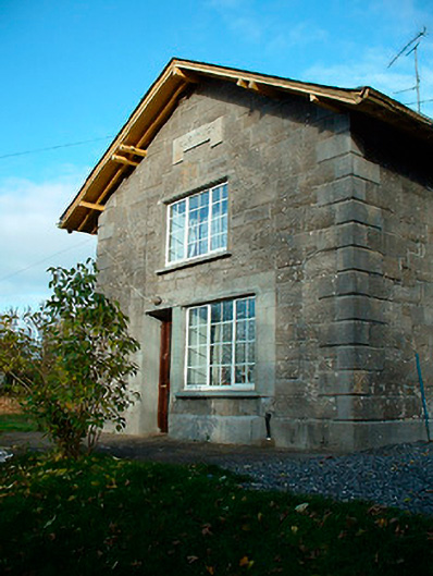 Clonhugh Railway Stationrailway station · 1184 yd
 CastleCastle, unclassified · 1.5 mi
 Castle Quarter, Castle (in ruins)Castle, unclassified · 1.6 mi
 Bridge Memorial (Kenna)Memorial · 1.8 mi
 Carrickphilbin IslandIslet · 2.6 mi
 Scragh Bog Nature ReserveNature reserve · 2.7 mi
 Church IslandIsland · 3.0 mi
 Lady's IslandWood · 3.5 mi
 WestmeathVisitor information · 5.3 mi