What is recorded here
Kilpaddoge holds a thirty-six-metre earthen ring where a twelve-metre bank still rises above the pasture. It sits mid-way up a sloping field, giving a clear view across the surrounding land. The exterior ditch survives partly on the north side, though refuse has filled much of it. People may have lived, hidden or marked territory there before the field changed hands and meaning.
Internal diameter 36m
This univallate rath is situated four fields ESE of KE003-010----, mid-way up a sloping pastoral field. There is a commanding view of the surrounding land. This site consists of a circular area enclosed by a well-defined earthen bank and exterior fosse. The enclosing bank is 12m wide; it rises to 2m above the interior and 3m externally. The external fosse survives to the NW to N to NE. However, its width and depth could not be taken due to an infill of cars, refuse etc. The interior is at a higher level than the surrounding land and gently sloping S.
The above description is derived from C. Toal, ‘North Kerry Archaeological Survey’. Dingle. Brandon in association with FAS Training and Employment Authority (1995), no. 189. In certain instances the entries have been revised and updated in the light of recent research.
Date of upload: 2 August 2013
The monument record does not grant public access. Check the route and ask the landowner before entering private land.
- What survives
- Recorded monument
Places near here
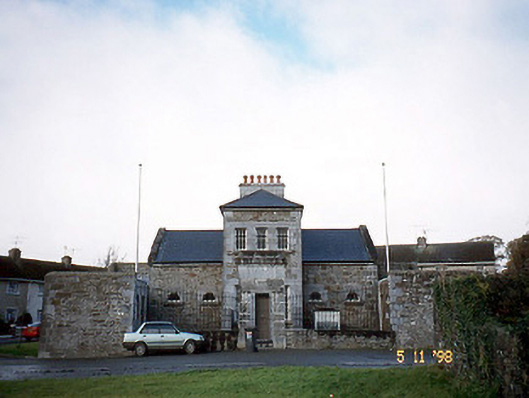 Tarbert Courthousecourt house · 942 yd
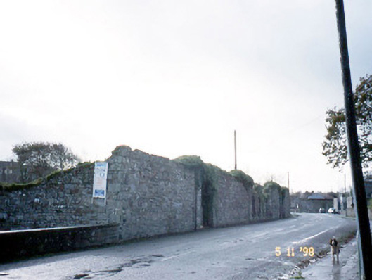 creamerycreamery · 999 yd
 Hachured, Massys HillBastioned fort · 1.1 mi
 Enclosure in Doonard UpperEnclosure · 1.2 mi
 Tarbet BayBay · 1.3 mi
 Tarmon Castle (in ruins)Castle, unclassified · 2.2 mi
 Labasheeda Fort (19th Century)Castle · 2.8 mi
 Ballymacrinan BayBay · 3.4 mi
 St Senan's WellSpring · 4.1 mi
 Siege of Carrigafoyle Castlesiege · 4.5 mi
 Carrig IslandIsland · 4.6 mi
 Crag WoodWood · 5.1 mi