What is recorded here
Thirty-five metres across and twice-walled, the rath in Kilpaddoge stands on high ground overlooking Glencloosagh, the glen of ears. Its two earthen banks and central ditch suggest human craft, yet local tradition calls it a fairy fort, implying the boundary between worlds remains thin there. The western wall disappears into a steep drop, as if the fort leans into the valley rather than resisting it.
Internal diameter 35m N-S, 39m E-W
This bivallate rath is situated on high ground and has a commanding view of the surrounding countryside. The sub-circular area is enclosed by two substantial earthen banks with an intervening fosse. There is no outer bank to the W, for here the land falls steeply into Glencloosagh (Gleann Cluasach, glen of ears). To the S to SE there is also just one bank for 18m, where it rises 3.2m above the surrounding land. The outer bank has a maximum external height of 1.8m and rises 2m above the fosse. The width of the fosse measures 2.4m. The external height of the inner bank rises to 2.6m above the fosse and .8m above the interior.
The above description is derived from C. Toal, ‘North Kerry Archaeological Survey’. Dingle. Brandon in association with FAS Training and Employment Authority (1995), no. 187. In certain instances the entries have been revised and updated in the light of recent research.
Date of upload: 2 August 2013
The monument record does not grant public access. Check the route and ask the landowner before entering private land.
- What survives
- Recorded monument
Places near here
 Kilnaughtin Church (in ruins)Church · 1514 yd
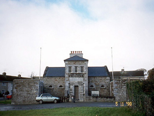 Tarbert Courthousecourt house · 1.1 mi
 Fulacht fia in CarhoonaFulacht fia · 1.2 mi
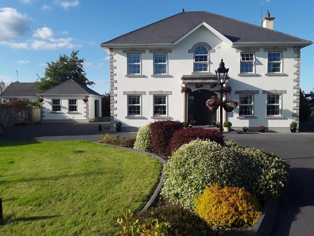 Enclosure in Doonard UpperEnclosure · 1.4 mi
 Tarbet BayBay · 1.9 mi
 Tarmon Castle (in ruins)Castle, unclassified · 2.5 mi
 Ballymacrinan BayBay · 3.2 mi
 Labasheeda Fort (19th Century)Castle · 3.2 mi
 Siege of Carrigafoyle Castlesiege · 3.9 mi
 Carrig IslandIsland · 4.0 mi
 St Senan's WellSpring · 4.1 mi
 Vandeleur Walled GardenHeritage attraction · 5.3 mi