What is recorded here
Kilnavar's ringfort measures nearly fifty metres across, large enough for several households rather than a single fairy dwelling. Its earthen bank has surrendered to the field boundary, and the entrance has vanished entirely. The fort is not a puppet for fantasy; it is a human settlement that outgrew the story later told about it.
Raised almost circular area (int. dims. 45.1m ENE-WSW; 48.9m NNE-SSW) enclosed by a low earthen bank which has been incorporated into the field boundary, and vague traces of a fosse. Original entrance not recognisable.
The above description is derived from the published 'Archaeological Inventory of County Cavan' (Dublin: Stationery Office, 1995). In certain instances the entries have been revised and updated in the light of recent research.
Date of upload/revision: 22 December 2008
The monument record does not grant public access. Check the route and ask the landowner before entering private land.
- What survives
- Recorded monument
Places near here
 Aghalackan EastMountain / peak · 698 yd
 Aghalackan WestMountain / peak · 1.0 mi
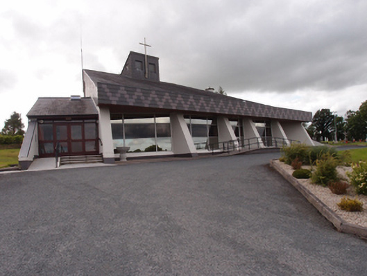 St Dymphna's Roman Catholic Churchchurch/chapel · 1.2 mi
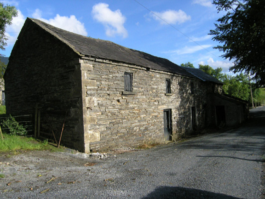 mill (water)mill (water) · 1.5 mi
 Ancient Order of Hibernians MemorialMemorial · 1.5 mi
 Enclosure in PolesEnclosure · 1.5 mi
 Site of Saint Davnet's ChapelArchaeological place · 1.5 mi
 To The Memory of P.J. DukeMemorial · 2.3 mi
 Carricknagore RockNamed rock · 2.5 mi
 Bawn in MoynehallBawn · 2.7 mi
 Killymeehan ForestForest · 3.0 mi
 CastleCastle, unclassified · 3.2 mi