What is recorded here
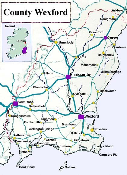
Situated on a slight rise in a low-lying landscape. A circular feature (diam. c. 30m) defined by a single fosse feature that is slightly truncated by a NE-SW road bank at SE is visible on the vertical aerial photographs (GSIAP T167/166). It is not visible at ground level in pasture. The rath (WX021-023001-) is c. 40m to the WNW.
Compiled by: Michael Moore
Date of upload: 15 June, 2012
Amended: 29 April, 2014
The monument record does not grant public access. Check the route and ask the landowner before entering private land.
- What survives
- Recorded monument
Places near here
 Church in Kilnamanagh LowerChurch · 534 yd
 Kilnamanagh Grave YardArchaeological place · 539 yd
 IndicatedHoly well · 579 yd
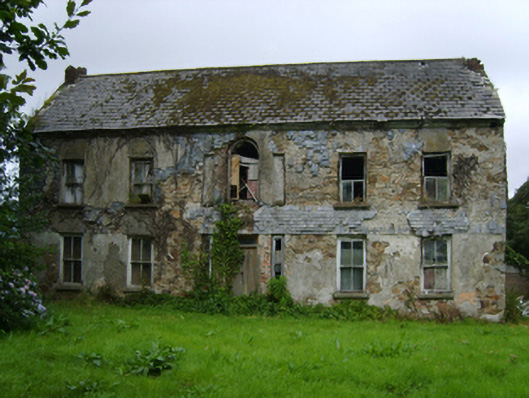 farm housefarm house · 731 yd
 1798 MemorialMonument · 1147 yd
 Enclosure in KnockskemolinEnclosure · 1.2 mi
 Oulart HillMountain / peak · 1.2 mi
 Battle of Oulart Hill signVisitor information · 1.2 mi
 Fontainebleau service treeFontainebleau service tree · 2.0 mi
 Birds of PreyVisitor information · 2.1 mi
 Ballingowan MoteCastle, motte · 2.2 mi
 Father Murphy CentreHeritage attraction · 3.3 mi