What is recorded here
Fairy fort / earthen ringfort in Kilnamack East is a fairy fort or earthen ringfort in Kilnamack East, County Waterford, Ireland. It occupies a subcircular area measuring 43 metres north to south and 38 metres east to west, defined by a 4.5 to 6.5-metre-wide earthen bank and an outer fosse. A 3.5-metre-wide entrance and causeway are located at the northeast.
Situated in a coniferous forest towards the top of a N-facing slope. Subcircular area (dims. 43m N-S; 38m E-W) defined by an earthen bank (Wth 4.5-6.5m; int. H 0.6m at N (downslope) to 1.4m at S; ext. H 1.7-2.4m at N) with an outer fosse (Wth at base 1-1.5m; ext. D 0.6m at N to 1.4m at W). The entrance (Wth 3.5m) and causeway are at NE.
The above description is derived from the published 'Archaeological Inventory of County Waterford' (Dublin: Stationery Office, 1999). In certain instances the entries have been revised and updated in the light of recent research.
Date of upload/revision: 23 December 2008
The monument record does not grant public access. Check the route and ask the landowner before entering private land.
- What survives
- Recorded monument
Places near here
 LiscamnaboHilltop enclosure · 360 yd
 American SweetgumAmerican Sweetgum · 795 yd
 European ashEuropean ash · 822 yd
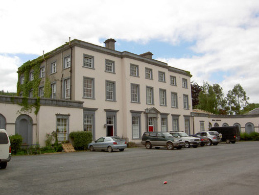 Marlfield Housecountry house · 914 yd
 Kilmacomma HillMountain / peak · 1220 yd
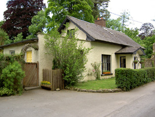 Church Lodgegate lodge · 1244 yd
 Crusader's GraveHeritage attraction · 1396 yd
 Site of ChurchChurch · 1658 yd
 CastleCastle, ringwork · 1.2 mi
 Greenan Castle (in Ruins)House, fortified house · 1.3 mi
 Carey's Castle WoodsVisitor information · 1.4 mi
 Toberaheena WellSpring · 1.7 mi