What is recorded here
Fairy fort / earthen ringfort in Kilnamack East is a fairy fort or earthen ringfort in Kilnamack East, County Waterford, Ireland. It occupies the west-facing shoulder of a hill as a subcircular grass-covered area measuring 37.5 metres north-west to south-east and 35 metres north-east to south-west. An earthen bank, 3.5 to 6.5 metres wide, defines the perimeter with traces of stone-facing on the inner edge, while a 4.5-metre entrance opens at the north-east.
Situated on the W-facing shoulder of a hill. Subcircular grass-covered area (dims. 37.5m NW-SE; 35m NE-SW) defined by an earthen bank (Wth 3.5-6.5m; int. H 0.2m at NW to 0.8m at SE (upslope); ext. H 0.8m at SE to 1.4m at NW) with traces of stone-facing on the inner edge. There is no visible fosse, but the entrance (Wth 4.5m) is at NE.
The above description is derived from the published 'Archaeological Inventory of County Waterford' (Dublin: Stationery Office, 1999). In certain instances the entries have been revised and updated in the light of recent research.
Date of upload/revision: 23 December 2008
The monument record does not grant public access. Check the route and ask the landowner before entering private land.
- What survives
- Recorded monument
Places near here
 Site of ChurchChurch · 438 yd
 Deodar CedarDeodar Cedar · 1284 yd
 Marlfield Housecountry house · 1302 yd
 Marlfield Forest Recreation AreaWood · 1305 yd
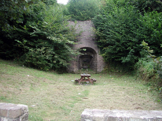 kilnkiln · 1327 yd
 Enclosure in KilmanahanEnclosure · 1361 yd
 Castle, Kilmanahan CastleCastle, tower house · 1.1 mi
 CastleCastle, ringwork · 1.2 mi
 Kilmacomma HillMountain / peak · 1.4 mi
 Crusader's GraveHeritage attraction · 1.4 mi
 Carey's Castle WoodsVisitor information · 2.0 mi
 Toberaheena WellSpring · 2.3 mi