What is recorded here
Kilnacor holds a substantial earthen ringfort with a twenty-seven-metre diameter, guarded by a deep, waterlogged fosse and a possible entrance at the southeast. The earth remains heavy and shaped, suggesting human hands built a defensible home rather than fairy trickery. People may have lived inside the bank, watched the causeway, and adapted the ditch as seasons changed. The site still presents as a made place, not a vague mound.
Raised circular area (int. diam. 27m) enclosed by a substantial earthen bank and a wide, deep, partially waterlogged fosse recut from NW-N-E. Short segment of low counterscarp bank at the outer lip of fosse at SSE is probably relatively modern. Break in inner bank at SE with accompanying causeway may represent original entrance.
The above description is derived from the published 'Archaeological Inventory of County Cavan' (Dublin: Stationery Office, 1995). In certain instances the entries have been revised and updated in the light of recent research.
Date of upload/revision: 22 December 2008
The monument record does not grant public access. Check the route and ask the landowner before entering private land.
- What survives
- Recorded monument
Places near here
 CarrickatoberMountain / peak · 945 yd
 St. Patricks WellHoly well · 1003 yd
 Ritual siteRitual site, holy/saint's stone · 1045 yd
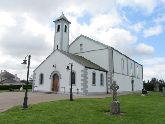 St Matthew's Roman Catholic Churchchurch/chapel · 1161 yd
 Derry ForestForest · 1.6 mi
 AghadreenaghMountain / peak · 1.7 mi
 Raven's RockNamed rock · 1.8 mi
 Saint Dympna's CrossWayside cross · 2.0 mi
 Ancient Order of Hibernians MemorialMemorial · 2.8 mi
 Ardkill ForestForest · 2.9 mi
 Giant's GraveArchaeological place · 3.1 mi
 Bawn in DuffcastleBawn · 3.4 mi