What is recorded here
Kilnaclay holds a broken circular fort on a drumlin ridge, its earthen bank still marking a boundary that human hands forgot long ago. The site measures twenty-five metres across and keeps a narrow eastern gap where someone once entered without building a grand gate. A nearby rath watches from the west while the main circle tilts into the slope like a bowl waiting for rain. Fairy fort is the local name, but the shape and gap point to a human home, workshop or refuge that time has half erased.
Located just off the crest of the E-facing summit of an E-W drumlin ridge. This is a circular area (diam. 25m NNE-SSW; 25m WNW-ESE) that slopes down severely to the E defined by an earthen bank and hedge SSE-W-N, but the perimeter is reduced to a scarp (at E: H 1.1m) elsewhere with traces of an outer fosse NW-NE. A stone field wall overlies the perimeter SW-NW. The most likely entrance (Wth of base 1.5m) is at ESE. Rath (MO013-003----) is c. 80m to the WSW.
The above description is derived from the published 'Archaeological Inventory of County Monaghan' (Dublin: Stationery Office, 1986). In certain instances the entries have been revised and updated in the light of recent research.
Compiled by: Michael Moore
Date of revision: 22 February 2018
The monument record does not grant public access. Check the route and ask the landowner before entering private land.
- What survives
- Recorded monument
Places near here
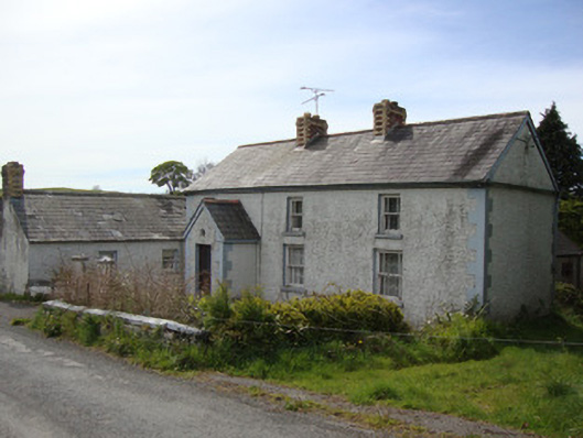 Brookside Cottagehouse · 810 yd
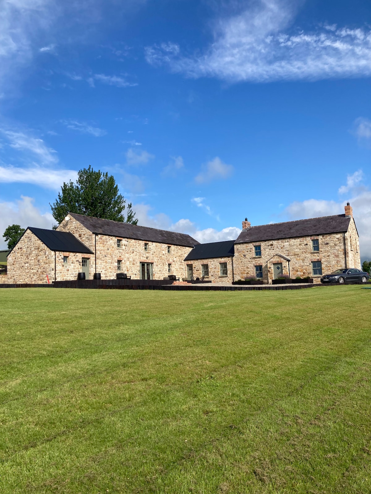 IndicatedFairy fort / earthen ringfort · 957 yd
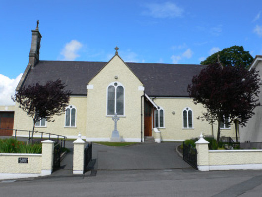 Saint Mary's Catholic Churchchurch/chapel · 1223 yd
 Dagda's CauldronHeritage attraction · 1644 yd
 Giant Redwood (1862)Heritage attraction · 1.0 mi
 The McMahon StoneArchaeological place · 1.2 mi
 Hazel WoodWood · 1.3 mi
 Mullaghmatt ForestWood · 2.1 mi
 Rough HillMountain / peak · 2.4 mi
 Bawn in Roosky (monaghan By., Monaghan Par.)Bawn · 3.1 mi
 Rossmore MonumentMemorial · 3.1 mi
 Lisarrilly HillMountain / peak · 4.0 mi