What is recorded here
Half a kilometre of marsh would have drowned most settlements, but this ridge rose just high enough to keep water at bay. People built a circular bank around that narrow strip of dry land, cutting a shallow ditch outside and leaving a causeway entrance at the south. The annexe may have come later, perhaps for livestock or storage when the main house filled. The Brosna still flows nearby, proving the ridge was chosen because it stayed alive while the surrounding field disappeared under water.
On top of a ridge running NE-SW in flat marshy land with nearby Brosna river to the N. Circular raised area (56m N-S; 52,m E-W) enclosed by an earthen bank (Wth 2.5m), external fosse (D 0.5m; Wth 3m) with causewayed entrance (Wth 2.5m) leading into a semicircular annexe attached to the S. The interior of the site follows the natural slope of a low ridge which offers it protection from flooding. Semicircular annexe (diam 15.7m N-S) at SW enclosed by a low earthen bank enclosing a semicircular shaped area may have been a later addition to the ringfort.
The above description is derived from the published 'Archaeological Inventory of County Offaly' (Dublin: Stationery Office, 1997). In certain instances the entries have been revised and updated in the light of recent research.
Date of upload: 23 May 2011
The monument record does not grant public access. Check the route and ask the landowner before entering private land.
- What survives
- Recorded monument
Places near here
 Enclosure in LehinchEnclosure · 940 yd
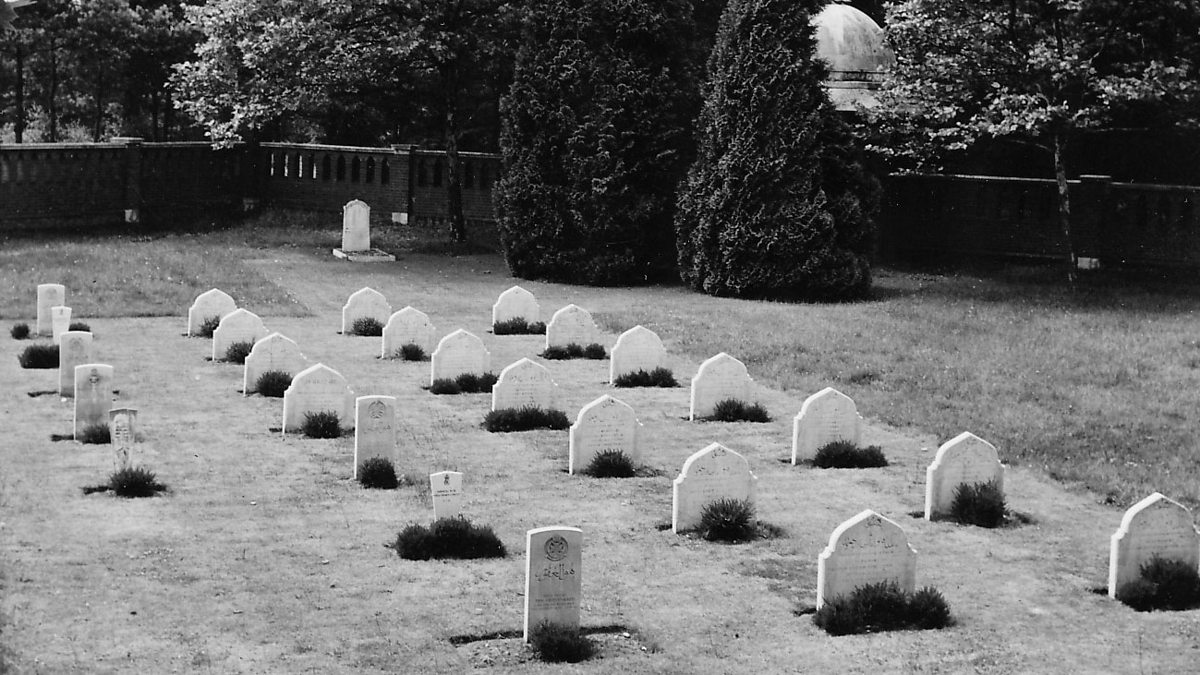 Burial ground in LehinchBurial ground · 1224 yd
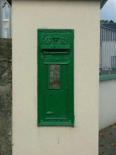 post boxpost box · 1386 yd
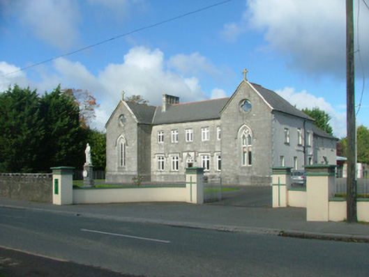 The Monasterymonastery · 1424 yd
 Kilcoursey Castle (in Ruins)Bawn · 1.2 mi
 Chapel HillForest · 1.7 mi
 CastleCastle, unclassified · 1.9 mi
 High WoodWood · 1.9 mi
 St. Columba's WellSpring · 2.3 mi
 Clara Bog BoardwalkHeritage attraction · 2.6 mi
 Kilmalady HillMountain / peak · 2.7 mi
 Trumpet HillMountain / peak · 3.0 mi