What is recorded here
Double earthen banks still circle a forgotten house in Kilmore grassland, their flat-bottomed trench marking the boundary between human life and fairy claim. The outer wall has surrendered part of itself to a field fence, yet differential crop growth reveals an internal structure beneath the soil. A church and graveyard stand nearby, suggesting people lived, died and prayed within sight of the ring for generations. The fort may have been abandoned because its fairness became unbearable to witness.
In grassland, on E-facing slope. Roughly circular area (34m N-S; 32m E-W) defined by double banks and flat-bottomed intervening fosse. Inner bank weathered (int. H 1.1m; ext. H 2m); outer bank (int. H 1.5m; ext. H1.6m) visible NW->NE and E->ESE, remainder incorporated into field fence. Differential crop growth indicates presence of internal structure. Possible entrances to NNE and SE. Church (CO124-035003-) and graveyard (CO124-035001-) nearby.
The above description is derived from the published 'Archaeological Inventory of County Cork. Volume 2: East and South Cork' (Dublin: Stationery Office, 1994). In certain instances the entries have been revised and updated in the light of recent research.
Date of upload/revision: 14 January 2009
The monument record does not grant public access. Check the route and ask the landowner before entering private land.
- What survives
- Recorded monument
Places near here
 Church (in Ruins)Church · 45 yd
 Church of Ireland Templetrinechurch/chapel · 63 yd
 Garrettstown ForestWood · 370 yd
 ToberreendoneyHoly well · 559 yd
 Ballycatten FortArchaeological place · 717 yd
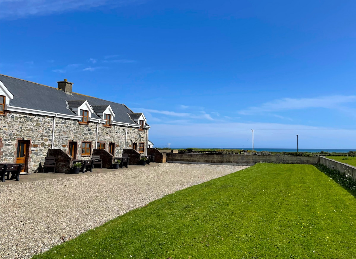 Kilmore WoodWood · 1077 yd
 The Moving StatueHeritage attraction · 1.3 mi
 Hackstown Raised Beach GeologyNamed rock · 1.7 mi
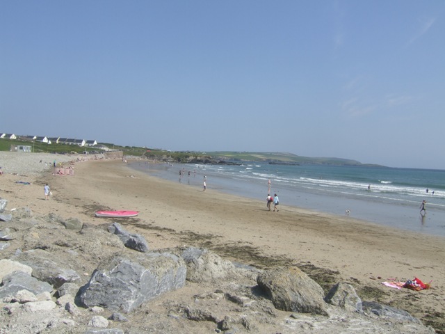 Garretstown StrandBeach / strand · 1.9 mi
 Howe's StrandBeach / strand · 2.1 mi
 Castle (in Ruins)Castle, tower house · 2.4 mi
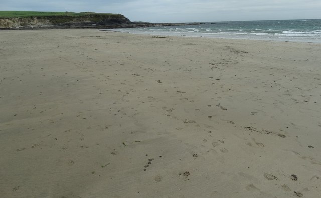 White StrandBeach / strand · 2.6 mi