What is recorded here
Mound and ditch still mark a forgotten home. Nobody lives there now, but the shape remains clear enough to read.
In pasture, on N-facing slope. Heavily overgrown circular area (diam. c. 30m) defined by earthen bank (int. H 1.55m); external fosse SE->N; with second bank (H 0.85m) SE->N.
The above description is derived from the published 'Archaeological Inventory of County Cork. Volume 2: East and South Cork' (Dublin: Stationery Office, 1994). In certain instances the entries have been revised and updated in the light of recent research.
Date of upload/revision: 14 January 2009
The monument record does not grant public access. Check the route and ask the landowner before entering private land.
- What survives
- Recorded monument
Places near here
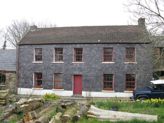 Kilmoney Househouse · 500 yd
 Kilmoney Bridgebridge · 520 yd
 St. John's WellArchaeological place · 1514 yd
 St Ringoes WellHoly well · 1521 yd
 Cogan's CastleCastle · 1.3 mi
 Meadstown Castle (Site of)Castle, unclassified · 2.5 mi
 Coolmore WoodWood · 2.9 mi
 Pauper's GraveyardArchaeological place · 3.0 mi
 Mulcon ValleyWood · 4.1 mi
 St Laitiarain's WellSpring · 4.4 mi
 Fountainstown BeachBeach / strand · 4.4 mi
 Manx2 Flight 7100aviation accident · 4.5 mi