What is recorded here
Fairy fort in Kilmartin Lower is a circular earthwork, 35m across, with two banks rising nearly four metres and a causewayed entrance facing the Dripsey River. It stands in rough grazing on a SW-facing slope, and an underground passage cuts through its interior. People may have lived, hidden or worshipped there before written records reached the place. The name Fairy fort suggests they also believed the land kept more than human affairs.
In rough grazing, on SW-facing slope, overlooking Dripsey River. Circular area (diam. 35m) defined by two earthen banks (max. H 3.79m) with intervening fosse. Causewayed entrance to SW. Man-made underground passage (CO050-062002-) ininterior.
The above description is derived from the published 'Archaeological Inventory of County Cork. Volume 3: Mid Cork' (Dublin: Stationery Office, 1997). In certain instances the entries have been revised and updated in the light of recent research.
Date of upload/revision: 14 January 2009
The monument record does not grant public access. Check the route and ask the landowner before entering private land.
- What survives
- Recorded monument
Places near here
 BarrowBarrow, ring-barrow · 759 yd
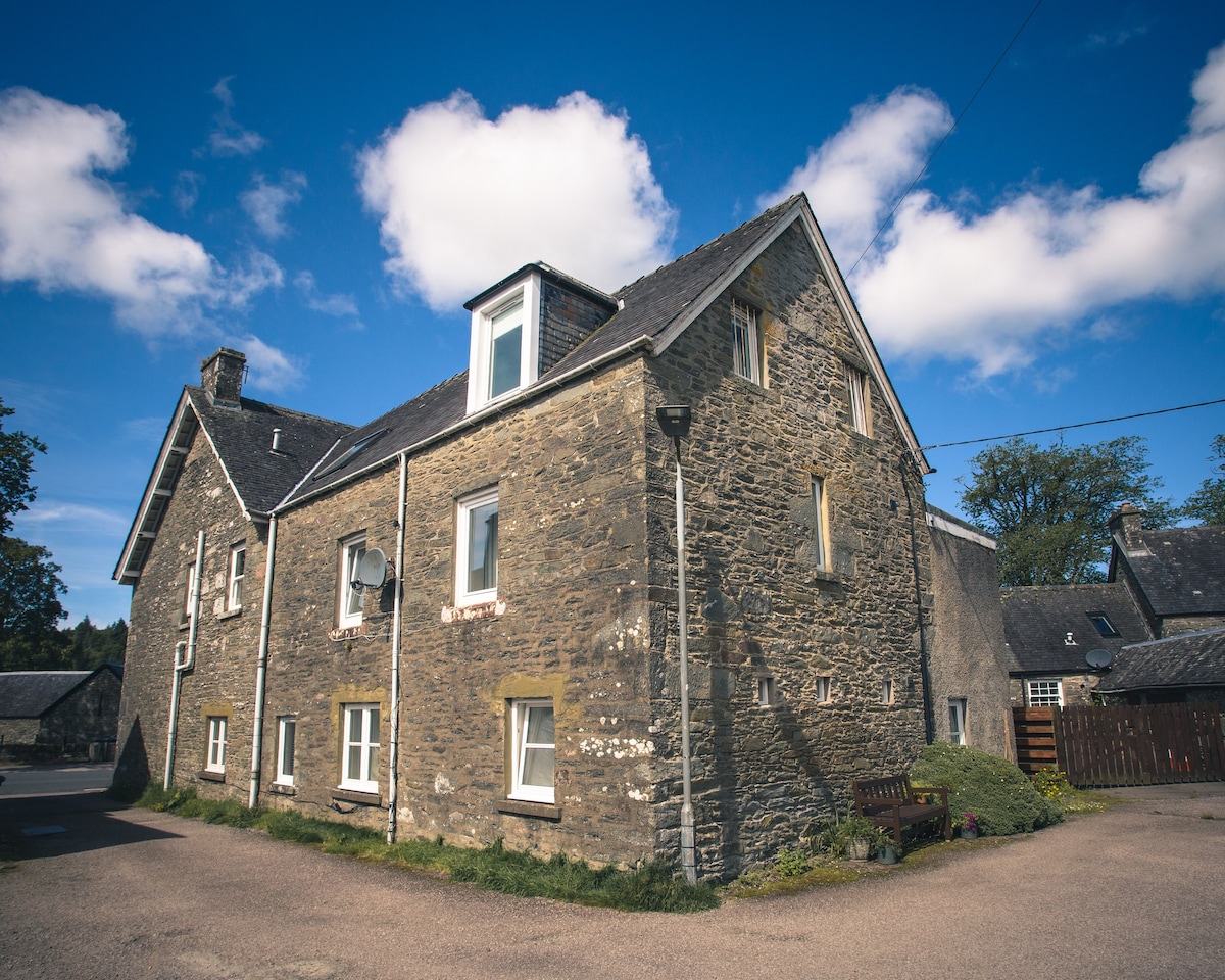 Cist in Kilmartin UpperCist · 999 yd
 Saint Bartholomew's WellSpring · 1.1 mi
 Quarry in BarrahaurinQuarry · 1.3 mi
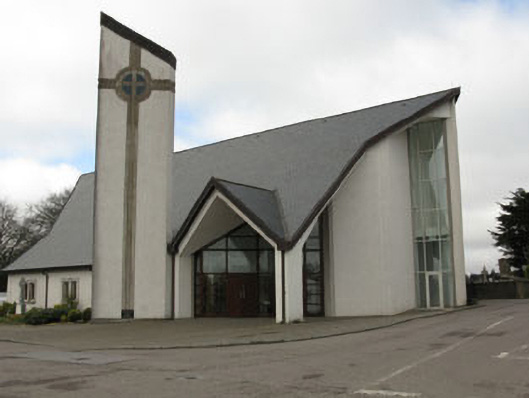 church/chapelchurch/chapel · 1.7 mi
 New TipperaryVisitor information · 2.7 mi
 Knockduff Wind FarmVisitor information · 3.2 mi
 Oldcastle WoodWood · 3.3 mi
 Knockcraugh HillMountain / peak · 3.9 mi
 Mullinhassig WaterfallWaterfall · 4.6 mi
 Mullinhassig WoodWood · 4.7 mi
 Carrignamuck Tower HouseCastle · 4.8 mi