What is recorded here
Kilmahon is a levelled ringfort on a north west facing slope in County Longford, still marked as a fort on the 1837 map and still called the Foxes' Den locally. What remains is a broad shallow circle, partly hidden by pasture and time, but large enough to have held lives, argument, fear and pride. The foxes may have taken the place after the people stopped naming it, turning a forgotten home into a den for something smaller and harder to keep out.
On a NW-facing slope in pasture. Depicted as a circular enclosure with the designation 'Fort' on the 1837 ed. of the OS 6-inch map. This rath has been largely levelled. Extant remains comprise a raised circular area (diam. 42.5m) defined by a scarp (H 0.7-1.7m). A very wide, shallow fosse (Wth 8m; D 0.2-0.4m) is evident from SW-WSW. The original entrance is not recognisable. Known locally as the 'Foxes' Den'.
Compiled by: Patrick F. O'Donovan
Date of upload: 26 August 2011
The monument record does not grant public access. Check the route and ask the landowner before entering private land.
- What survives
- Recorded monument
Places near here
 Structure in KilmahonStructure · 452 yd
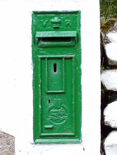 post boxpost box · 1.1 mi
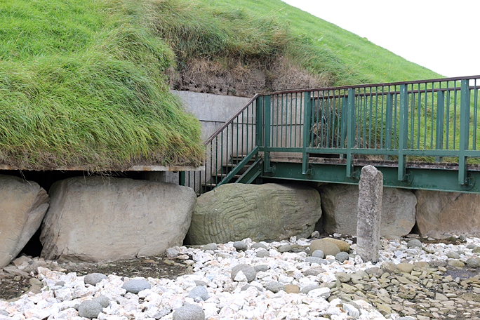 Passage tomb in Dooroc,corneddanPassage tomb · 1.1 mi
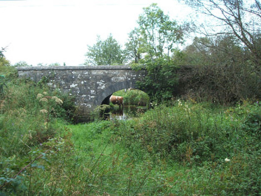 bridgebridge · 1.4 mi
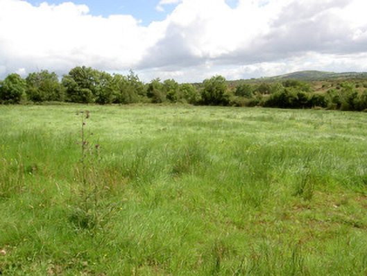 battlefieldbattlefield · 2.9 mi
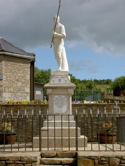 1798 Monumentmonument · 2.9 mi
 Ballinamuck Bog LoopWalking route · 2.9 mi
 CastleCastle, unclassified · 3.4 mi
 Native Woodland Trust: Farnaght ReserveWood · 3.5 mi
 Bawn in CurrycahillBawn · 3.9 mi
 Ballinalee Forest WalkForest · 4.3 mi
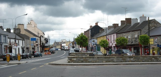 AghaveansMountain / peak · 8.7 mi