What is recorded here
Located at the crest of the S-facing slope of a drumlin. This is an overgrown oval area (dims c. 30m ENE-WSW; 25.8m NNW-SSE) that slopes down to the S defined by an earthen bank and an outer fosse, with a slight outer bank (Wth of base 3.1m; int. H 0.9m ext. H 0.9m) surviving SSE-WSW. The entrance (Wth at base 2.3m) though the inner bank is at SE but the outer bank at this point is complicated with two field banks abutting it. The surrounding field banks had been removed by 1983.
The above description is derived from the published 'Archaeological Inventory of County Monaghan' (Dublin: Stationery Office, 1986). In certain instances the entries have been revised and updated in the light of recent research.
Date of revision: 17 July 2007
The monument record does not grant public access. Check the route and ask the landowner before entering private land.
- What survives
- Recorded monument
Places near here
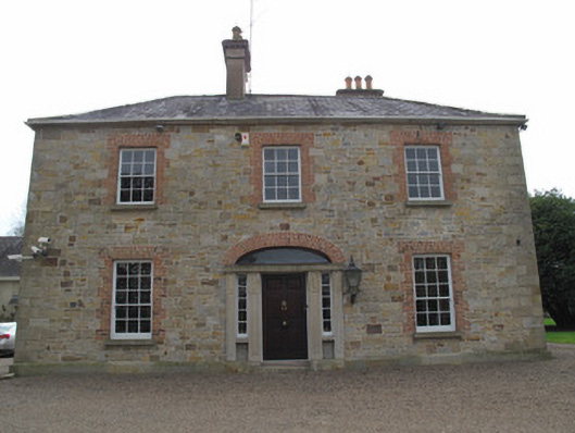 rectory/glebe/vicarage/curate's houserectory/glebe/vicarage/curate's house · 1197 yd
 IndicatedHilltop enclosure · 1251 yd
 St. Muadain's WellSpring · 1282 yd
 Old ChChurch · 1282 yd
 Fairy fort / earthen ringfort in AghadrumcruFairy fort / earthen ringfort · 1.2 mi
 RAVELLA CASTLE:HOUSE AND BAWN in RavellaRAVELLA CASTLE:HOUSE AND BAWN · 2.2 mi
 Coolberrin HillMountain / peak · 2.4 mi
 Derrygorry WoodForest · 2.5 mi
 Latten WoodForest · 2.7 mi
 Saint Patrick's ChairNamed rock · 3.2 mi
 Emyvale Heritage TrailVisitor information · 3.7 mi
 MEDIEVAL CHURCH & GRAVEYARD: AGHALOO CHURCH in RouskyMEDIEVAL CHURCH & GRAVEYARD: AGHALOO CHURCH · 3.7 mi