What is recorded here
No visible entrance remains on the western shoulder of the Monaghan drumlin, though a tall earthen scarp and broken stone wall still mark the circular boundary within the deciduous wood. The hidden gateway suggests the fort was built to be seen, entered and forgotten rather than simply defended. It is a small, sharp-edged place where human ingenuity and local mystery still tangle together beneath the trees.
Situated on the W shoulder of an ENE-WSW drumlin ridge. This is a circular area within a deciduous wood (diam. 26.5m E-W; 25m N-S) defined by a scarp (at W: H 2.4m), with slight traces of an outer fosse or berm (Wth c. 3m) at SW and an outer stone wall facing (H c. 1.8m) N-E. The original entrance is not identified.
The above description is derived from the published 'Archaeological Inventory of County Monaghan' (Dublin: Stationery Office, 1986). In certain instances the entries have been revised and updated in the light of recent research.
Revised by: Michael Moore
Date of revision: 29 January 2018
The monument record does not grant public access. Check the route and ask the landowner before entering private land.
- What survives
- Recorded monument
Places near here
 Giants GraveCourt tomb · 180 yd
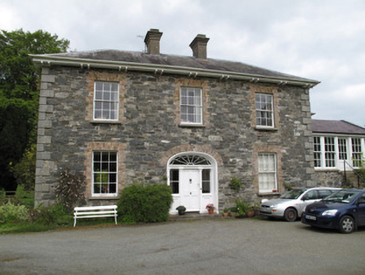 Killygorman Househouse · 491 yd
 8Archaeological place · 646 yd
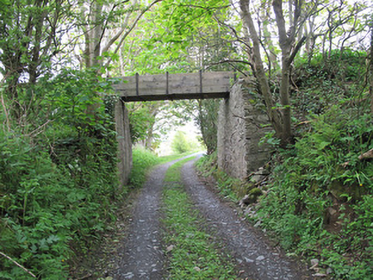 aqueductaqueduct · 711 yd
 Roosky Castle (Site of)Castle, ringwork · 1592 yd
 Lisarrilly HillMountain / peak · 1.4 mi
 KillycoonaghWood · 1.4 mi
 Common LimeCommon Lime · 1.4 mi
 Jaundice WellSpring · 1.5 mi
 Saint John's WellSpring · 1.6 mi
 Abbey RuinsHeritage attraction · 3.5 mi
 The Cassandra Hand CentreMuseum · 3.6 mi