What is recorded here
Fairy fort in Killydrutan, County Monaghan: a 29m circular grass area on the north edge of a broad hill, with double earthen banks, a rounded fosse, and a south-east entrance. The inner bank has been removed from the west to the north, but the outer bank and causeway still mark the threshold. In 1968 coniferous trees were planted there; they are gone now, leaving the ring open inside a coniferous forest.
Located at the N edge of a broad hill. This is a circular grass-covered area (diam. 29m NE-SW; 29m NW-SE) defined by an earthen bank (at SE: Wth 6m; int. H 0.5m; ext. H 0.9m) that has been removed W-N. This bank is separated by a rounded fosse (at SE: Wth of top 8.6m; ext. D 1-1.3m) from a complete outer bank (Wth of base 9-10m; ext. H 0.5m at NE to 1.5m at SW). The entrance through the inner (Wth of base 2.8m) and outer (Wth of base 2.5m) banks and a causeway (Wth of top 2.8m; H 0.7m) is at SE. It had been planted in coniferous trees in 1968 but it is now unplanted in a coniferous forest (Bing 2013).
The above description is derived from the published 'Archaeological Inventory of County Monaghan' (Dublin: Stationery Office, 1986). In certain instances the entries have been revised and updated in the light of recent research.
Date of revision: 14 December 2017
This remains an important historical record, but the official description says the monument is no longer visible or has been destroyed. The monument record does not grant public access. Check the route and ask the landowner before entering private land.
- What survives
- No visible remains or recorded as destroyed
Places near here
 The BarnHeritage attraction · 283 yd
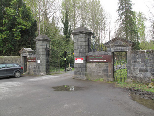 Rossmore Castlegates/railings/walls · 377 yd
 Banba GiantHeritage attraction · 382 yd
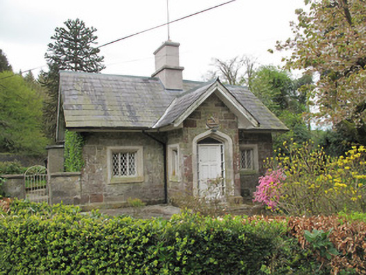 Camla Housegate lodge · 411 yd
 Court tomb in KillydrutanCourt tomb · 633 yd
 Megalithic tomb in GortakeeghanMegalithic tomb · 663 yd
 Mullaghmatt ForestWood · 966 yd
 Cortolvin ForestWood · 1375 yd
 Bawn in Roosky (monaghan By., Monaghan Par.)Bawn · 1.5 mi
 Rossmore MonumentMemorial · 1.6 mi
 Rough HillMountain / peak · 2.9 mi
 Castleshane WaterfallWaterfall · 4.5 mi