What is recorded here
Fairy fort in Killydonnelly, County Monaghan: a subcircular earthen ring at the south end of a drumlin ridge, with its entrance facing southeast. People may have lived there, marked territory, or kept animals inside the bank before grass and scrub swallowed the shape. The fairies in the name suggest later locals treated it as theirs, not human, which is often how ordinary places become mysterious.
Situated at the S end of a N-S drumlin ridge. This is a subcircular grass and scrub-covered area (dims 36.8m NW-SE; 30.6m NE-SW) defined by an overgrown earthen bank (Wth c. 4m; int. H c. 1m; ext. H 1.5m) NW-NE, which is reduced to scarp (at E: Wth 1.5m; H 1.5m) elsewhere. The original entrance is at SSE.
The above description is derived from the published 'Archaeological Inventory of County Monaghan' (Dublin: Stationery Office, 1986). In certain instances the entries have been revised and updated in the light of recent research.
Date of revision: 30 August 2017
The monument record does not grant public access. Check the route and ask the landowner before entering private land.
- What survives
- Recorded monument
Places near here
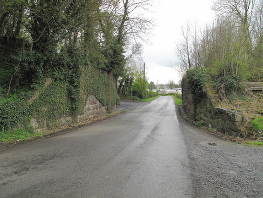 bridgebridge · 447 yd
 Rough HillMountain / peak · 837 yd
 IndicatedEnclosure · 915 yd
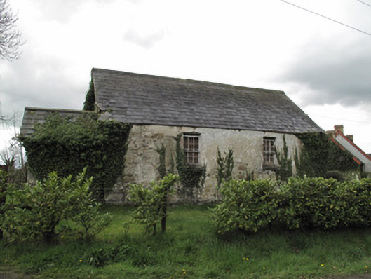 Ternamona National Schoolschool · 956 yd
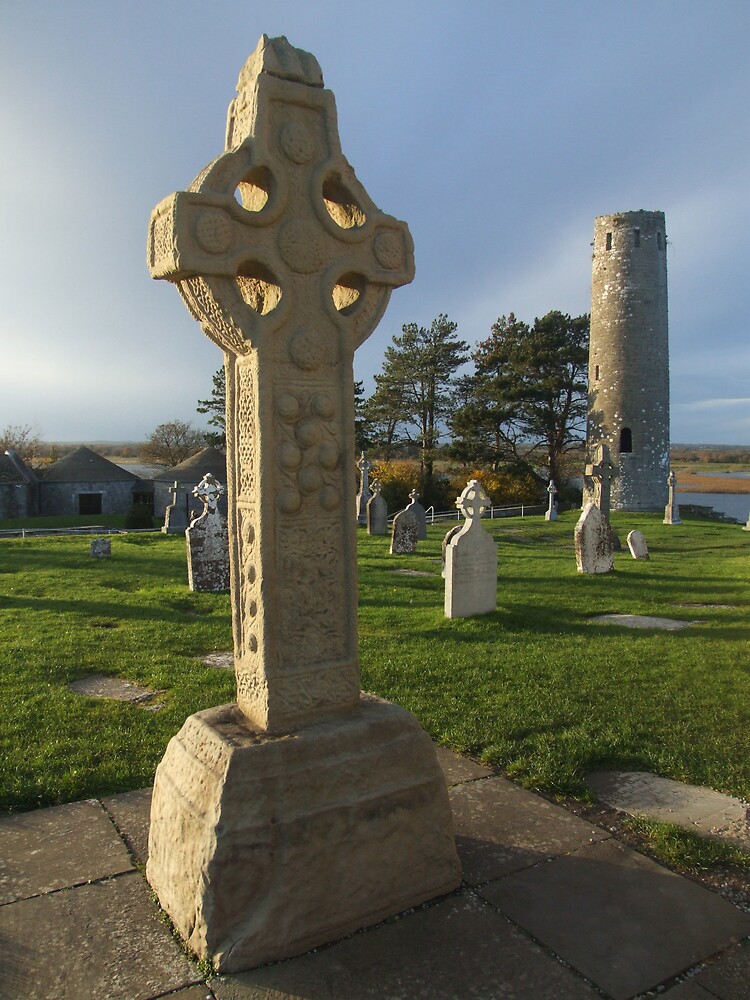 Cross in ClonamullyCross · 1.2 mi
 Hazel WoodWood · 2.0 mi
 Churchland WoodWood · 2.5 mi
 Banba GiantHeritage attraction · 3.0 mi
 Roddy-Den-Drum GiantHeritage attraction · 3.0 mi
 Lisarrilly HillMountain / peak · 4.0 mi
 Jaundice WellSpring · 4.0 mi
 Roosky Castle (Site of)Castle, ringwork · 4.1 mi