What is recorded here
An earthen oval, thirty-five metres across, still holds its shape in Killycluggin despite the abandoned railway cutting through its heart. The western bank remains low and broken, while the eastern half has been levelled into ordinary ground. A dark passage may still project from the inner wall, waiting for someone brave enough to crawl inside and ask the fairies what they forgot.
Not marked on any OS ed. Raised oval area (int. dims. 35m E-W; 29.2m N-S) divided into two roughly equal portions by the now disused Cavan-Leitrim railway. The portion WNW of this is enclosed by a low much-disturbed bank of earth and stone. Projecting into the internal area from the inner face of the bank at WNW are possible remains of a Man-made underground passage (CV013-027002-). The portion ESE of the railway has been largely levelled but its outline is readily identifiable. Original entrance not recognisable.
The above description is derived from the published 'Archaeological Inventory of County Cavan' (Dublin: Stationery Office, 1995). In certain instances the entries have been revised and updated in the light of recent research.
Date of upload/revision: 22 December 2008
The monument record does not grant public access. Check the route and ask the landowner before entering private land.
- What survives
- Recorded monument
Places near here
 Killycluggin StoneVisitor information · 473 yd
 Tober PatrickHoly well · 902 yd
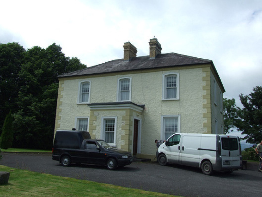 The Presbyterypresbytery/parochial/curate's house · 1081 yd
 IndicatedHilltop enclosure · 1126 yd
 Saint Patrick's Catholic Churchchurch/chapel · 1156 yd
 LissanoverCastle, unclassified · 1401 yd
 Bellaheady MountainMountain / peak · 1.0 mi
 Killarah ForestForest · 1.0 mi
 Ballyconnell Log CabinsForest · 1.4 mi
 Saint Mogue's IslandIslet · 1.8 mi
 Giants GraveArchaeological place · 1.8 mi
 Bilberry HillMountain / peak · 2.2 mi