What is recorded here
No entrance, no ditch, just a D-shaped earthen bank with stone facing on three sides, cut in two by a farm lane. The missing half may have slid into the field or been taken for roadmaking, but the remaining curve still stands twenty-seven metres long on the drumlin crest. A house without a door is either a trap or a invitation, depending on whether you believe the walls are complete.
Situated just off the crest of the SW-facing slope of a NW-SE drumlin ridge towards the SE end. This is a D-shaped overgrown area (dims 27m NW-SE; c. 15m NE-SW) defined by an earthen bank (at SE: Wth of base 4.3m; Wth of top 1.5m; int. H 1m; ext. H 2.5m) with an external stone facing SE-W-NW. There is no visible fosse or entrance. The rath is cut by a NW-SE road bank bordering a farm lane at NE and the monument does not survive visibly beyond this. The Man-made underground passage (MO029-022----) is c. 75m to the SW.
The above description is derived from the published 'Archaeological Inventory of County Monaghan' (Dublin: Stationery Office, 1986). In certain instances the entries have been revised and updated in the light of recent research.
Date of revision: 29 August 2017
The monument record does not grant public access. Check the route and ask the landowner before entering private land.
- What survives
- Recorded monument
Places near here
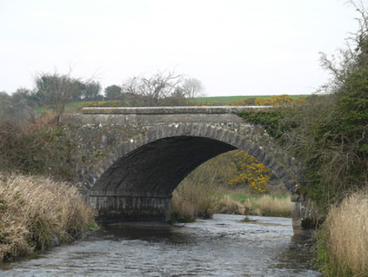 Fane River Bridgebridge · 231 yd
 Moyles Housepresbytery/parochial/curate's house · 1041 yd
 Lisinabragh fortFairy fort / earthen ringfort · 1385 yd
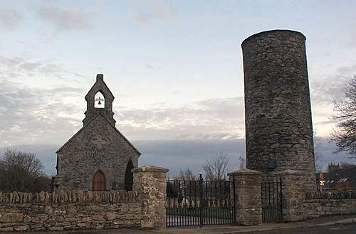 Round TowerRound tower · 1659 yd
 CastleCastle, unclassified · 3.3 mi
 Mount AshCastle, motte · 3.8 mi
 KnockreaghMountain / peak · 4.7 mi
 MEDIEVAL & POST-MED. CHURCH & GRAVEYARD in Creggan Bane GlebeMEDIEVAL & POST-MED. CHURCH & GRAVEYARD · 4.8 mi
 Battle of Newry Roadbattle · 4.8 mi
 Ballsmill Amenity LandPicnic place · 5.1 mi
:no_upscale()/cdn.vox-cdn.com/uploads/chorus_asset/file/25593391/County_Louth_6th.jpg) LouthMountain / peak · 5.3 mi
LouthMountain / peak · 5.3 mi Irish Hunger StrikersMemorial · 6.2 mi