What is recorded here
Killowny holds a levelled circular scar thirty-six metres wide, marked only by a faint northern rise and ghostly fosse traces. Local people called it a fairy fort because humans stopped understanding the shape, not because the shape stopped belonging to them. A ringfort is a boundary drawn by lived people, likely with a central building, entrance, and daily routine now erased by ploughs. The fairies enter only the gap left when memory vacates the place.
In pasture, on gentle S-facing slope. Levelled; circular area (c. 34.5m N-S; c. 36m E-W) defined by low curving rise to N; slight rise to S; slight traces of fosse N->NE. According to landowner, large stones uncovered when site ploughed.
The above description is derived from the published 'Archaeological Inventory of County Cork. Volume 2: East and South Cork' (Dublin: Stationery Office, 1994). In certain instances the entries have been revised and updated in the light of recent research.
Date of upload/revision: 14 January 2009
The monument record does not grant public access. Check the route and ask the landowner before entering private land.
- What survives
- Recorded monument
Places near here
 Courtaparteen Famine VillageWood · 1321 yd
 Grave YdGraveyard · 1384 yd
 Church (in Ruins)Church · 1431 yd
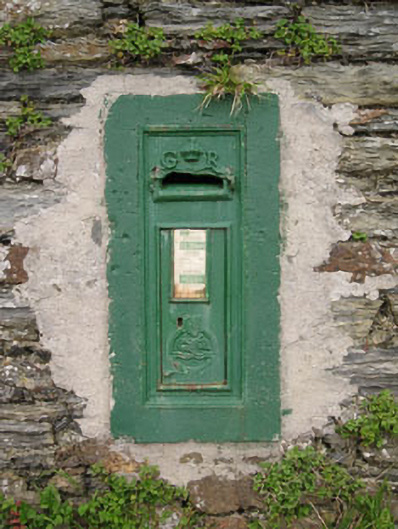 post boxpost box · 1.4 mi
 Sandy Cove IslandIslet · 1.4 mi
 Garrylucas EastSettlement cluster · 1.8 mi
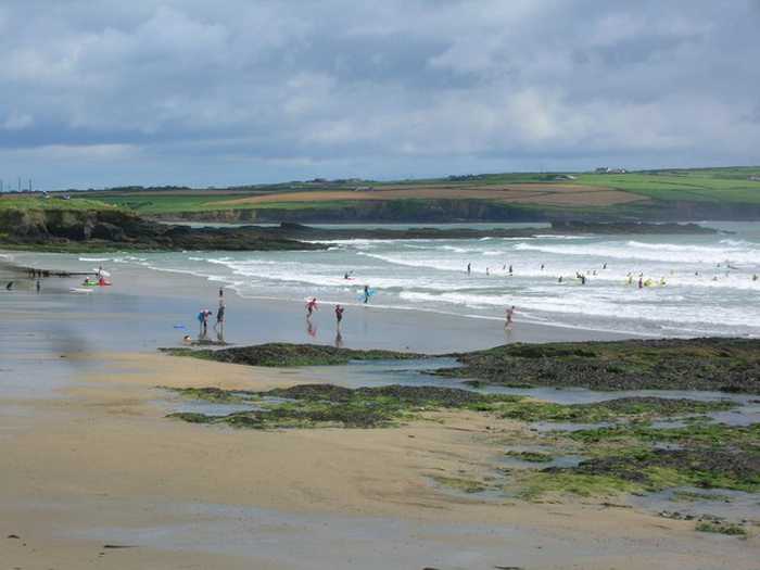 Garrylucas, White StrandBeach / strand · 1.8 mi
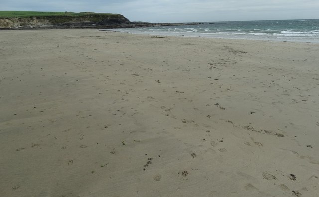 White StrandBeach / strand · 1.9 mi
 Ringfinnan 9/11 Garden of RemembranceMemorial · 2.1 mi
 Ringrone Castle (in Ruins)Castle, tower house · 2.1 mi
 Ringrone CastleCastle · 2.1 mi
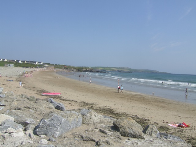 Garretstown StrandBeach / strand · 2.2 mi