What is recorded here
Killmountain holds a circular earthen ringfort, twenty-two metres across, where a one-metre bank still encloses reclaimed pasture. Its interior was cut into the hill on one side and raised on the other to level the slope, proving human hands shaped the land before memory faded. Boulders from later reclamation now bury part of the bank, yet the clear circular limit remains visible in the grass. The fort may have housed families, stored grain or marked territorial pride, but its exact purpose has vanished with the people who built it.
In reclaimed pasture, on WSW-facing slope. Circular area (22m N-S; 22m E-W) enclosed by earthen bank (H 1m). Boulders from land reclamation dumped on bank. Interior cut into hill on ENE side and raised on WSW side to compensate for hillslope.
The above description is derived from the published 'Archaeological Inventory of County Cork. Volume 3: Mid Cork' (Dublin: Stationery Office, 1997). In certain instances the entries have been revised and updated in the light of recent research.
Date of upload/revision: 14 January 2009
The monument record does not grant public access. Check the route and ask the landowner before entering private land.
- What survives
- Recorded monument
Places near here
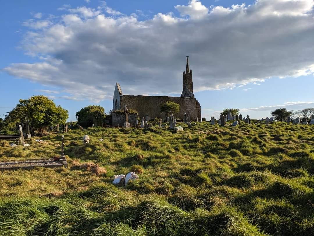 GravesBurial · 610 yd
 Fulacht FiadhFulacht fia · 1164 yd
 Bealahacreagh Bridgebridge · 1.4 mi
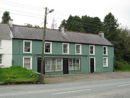 Edmond Walshhouse · 1.6 mi
 Cnoc na nUlán (mullach thoir)Mountain / peak · 2.6 mi
 Carrigaphooca CastleCastle · 3.4 mi
 KnockullaneMountain / peak · 3.5 mi
 Neill's WoodWood · 3.6 mi
 Curraheen WoodWood · 4.0 mi
 Clonavrick CliffCliff · 4.2 mi
 Dundareirke Castle (in Ruins)Castle, tower house · 4.5 mi
 Paddy Mulcahey 2009Memorial · 4.6 mi