What is recorded here
Killissane holds a circular earthen fort thirty-five metres across, marked by a shallow bank and outside ditch. Bushes have swallowed the interior, blocking human entry and suggesting the site belongs more to fantasy than history. The fort stands beside two levelled rings in the western field, creating a forgotten cluster where ordinary pasture hides abandoned human life.
In pasture, on gentle SSW-facing slope. Circular area (diam. c. 35m) enclosed by earthen bank (int. H 0.8m; ext. H 1m); external fosse (D 0.5m). Bank and interior heavily overgrown with bushes and inaccessible. Two levelled ringforts (CO026-07901-; CO026-07902-) in adjoining field to W.
The above description is derived from the published 'Archaeological Inventory of County Cork. Volume 4: North Cork' (Dublin: Stationery Office, 2000). In certain instances the entries have been revised and updated in the light of recent research.
Date of upload/revision: 14 January 2009
The monument record does not grant public access. Check the route and ask the landowner before entering private land.
- What survives
- Recorded monument
Places near here
 Fulacht fia in KillissaneFulacht fia · 764 yd
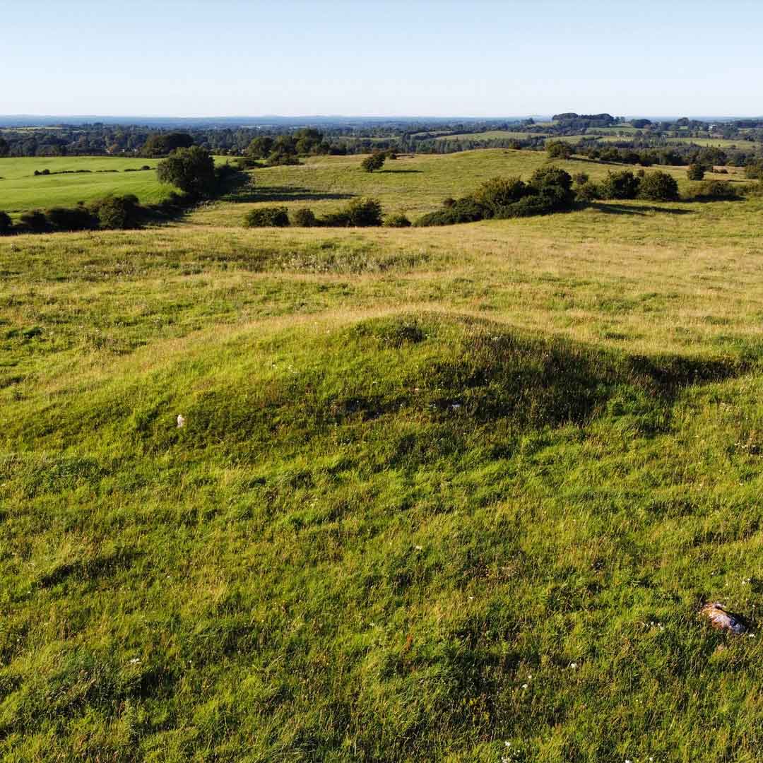 Burnt mound in Kilquane (fermoy By.)Burnt mound · 905 yd
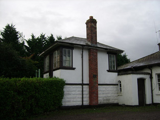 Power Seeds Ltdsignal box · 1344 yd
 Ballinardra Bridgebridge · 1429 yd
 Monanimy CastleCastle, tower house · 1.0 mi
 Killavullen CavesCave · 1.3 mi
 Cave in BallymacmoyCave · 1.3 mi
 Killavuleen LOOPVisitor information · 1.5 mi
 CastleCastle, tower house · 1.5 mi
 Anne's Grove GardensHeritage attraction · 2.6 mi
 Blackwater (Avondhu) WayWalking route · 3.7 mi
 Knocknaskagh North TopMountain / peak · 4.1 mi