What is recorded here
Killeter holds a thirty-two-metre earthen ring where modern buildings now abut the ancient bank. The original entrance has vanished beneath soil and stone, but the circular shape still defines the local landscape. People may have lived inside that quiet fort before memory faded, while fairy tales later claimed the forgotten structure for their own.
Raised circular area (int. diam. c. 32m) enclosed by a substantial, although partly denuded, earthen bank identifiable from S-N-E. It has a modern facing of drystone masonry. Modern buildings abut the site from E-SE-S. Original entrance not recognisable.
The above description is derived from the published 'Archaeological Inventory of County Cavan' (Dublin: Stationery Office, 1995). In certain instances the entries have been revised and updated in the light of recent research.
Date of upload/revision: 22 December 2008
The monument record does not grant public access. Check the route and ask the landowner before entering private land.
- What survives
- Recorded monument
Places near here
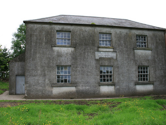 Killeter National Schoolschool · 292 yd
 Enclosure in KilleterEnclosure · 361 yd
 Cornaglare or PalmiraMountain / peak · 1255 yd
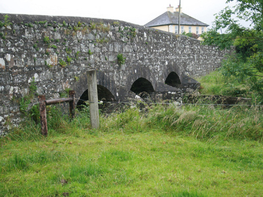 Corlat Bridgebridge · 1257 yd
 Sit of Old CastleCastle, unclassified · 1319 yd
 Green IslandPromontory fort, inland · 1.4 mi
 Sally IslandIslet · 1.4 mi
 Crow IslandIslet · 1.5 mi
 CastleCastle, tower house · 1.6 mi
 Cloghballybeg ForestForest · 1.9 mi
 Cloghbally LowerMountain / peak · 2.1 mi
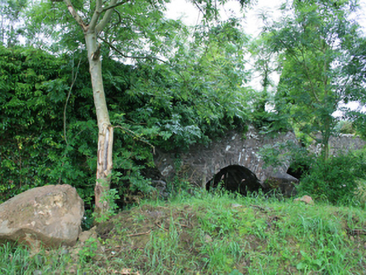 Skearke Bridgebridge · 1410 yd