What is recorded here
Killelton holds an oval earth ring thirty-two metres wide, tucked into wet pasture beside Tralee Bay. Stone lines the inner bank and entrance, while faded hut foundations still mark where people lived. The fort is small enough to walk in minutes, yet large enough to keep a household, herds and memory inside one unbroken circle.
Internal diam. 32m N-S, 26.5m E-W
An oval univallate rath situated in rough, wet pastureland, c. 115m from the S shore of Tralee Bay. The earthen enclosing bank averages 1m in height internally and rises a maximum of 2.3m above the base of the fosse. It is faced internally with drystone walling which stands to a maximum height of 1m. The sides of the NE facing entrance are similarly stone-lined as are the adjoining sections of the outer face of the bank. The fosse is preserved only around the S half of the site and for a very short distance at N. It varies from 2.2m to 3.3m in width at base and is 1m deep. A pair of conjoined huts in the interior are now reduced to a heap of loose stones. Another spread of stones to E of these may mark the site of a 3rd hut.
The above description is derived from J. Cuppage, ‘Corca Dhuibhne. Dingle Peninsula archaeological survey. Ballyferriter. Oidhreacht Chorca Dhuibhne’ (1986), no. 472. In certain instances the entries have been revised and updated in the light of recent research.
Date of upload: 7 August 2013
The monument record does not grant public access. Check the route and ask the landowner before entering private land.
- What survives
- Recorded monument
Places near here
 Killelton Church (in ruins)Church · 1032 yd
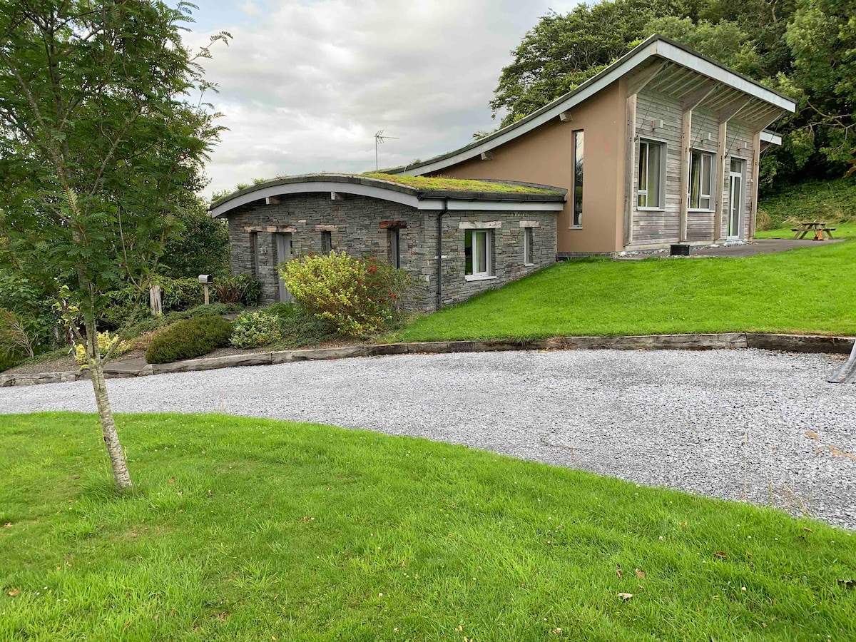 Hut site in Doire Mhór ThiarHut site · 1371 yd
 Enclosure in Doire Mhór ThiarEnclosure · 1651 yd
 GearhaneMountain / peak · 1.7 mi
 Curraduff Bridgebridge · 1.9 mi
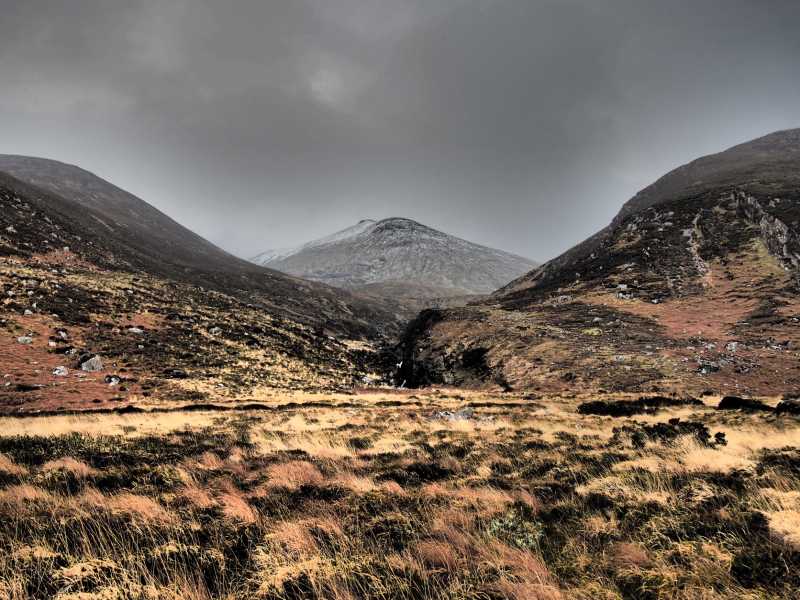 Baurtregaum NW TopMountain / peak · 2.0 mi
 Site of Camp CastleCastle, unclassified · 2.0 mi
 CastleCastle, unclassified · 2.1 mi
 Derrymore Island Nature ReserveNature reserve · 2.1 mi
 Faisr's GraveArchaeological place · 2.2 mi
 Graveyard in Baile An Chnocáin (tc An Cnoc Glas)Graveyard · 2.2 mi
 Samphire IslandIslet · 2.5 mi