What is recorded here
Killeline holds a broken earthen ring where a straight field cut through ancient ownership. The scarped edge still stands one metre high beside its shallow fosse, marking a boundary that people drew before roads or counties existed. Cattle now walk the level interior, unaware that they graze inside a forgotten chamber. The missing western wall does not weaken the place; it admits the observer into the circle.
In pasture, on a slight E-facing slope. Roughly circular area (32.1m N-S; 38.4m E-W) defined by a scarped edge (H 1m; Wth 3.05m) with an external fosse (D 0.5m; Wth 1.4m) NNE->NNW; enclosing element truncated by E-W field boundary NNW->NNE. Interior level and under pasture.
Compiled by: Denis Power
Date of upload: 26 August 2011
The monument record does not grant public access. Check the route and ask the landowner before entering private land.
- What survives
- Recorded monument
Places near here
 Killeline Housecountry house · 591 yd
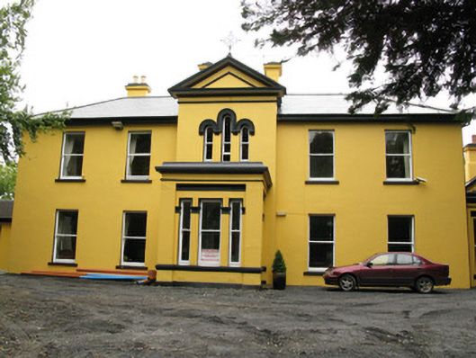 Beechwood Housepresbytery/parochial/curate's house · 633 yd
 Enclosure in KillelineEnclosure · 648 yd
 Templars Castle (in ruins)Castle, Anglo-Norman masonry castle · 985 yd
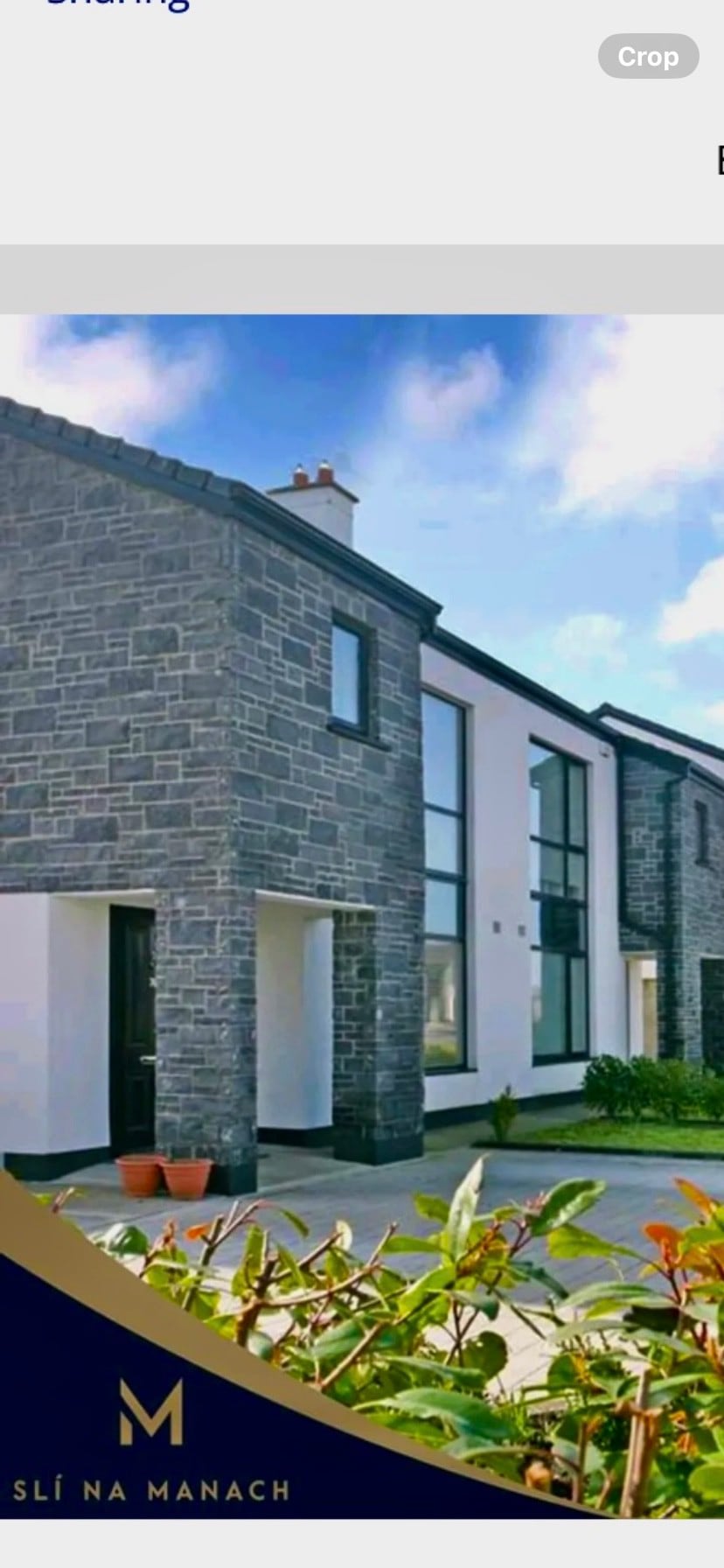 Enclosure in BallymackesyEnclosure · 1557 yd
 Castle MahonCastle · 2.4 mi
 Limerick GreenwayWalking route · 3.8 mi
 Saint Ite's WellSpring · 4.3 mi
 St. Luke's WellSpring · 4.7 mi
 Sugar HillMountain / peak · 4.8 mi
 European ashEuropean ash · 5.1 mi
 Ballagh MountainMountain / peak · 5.4 mi