What is recorded here
On crest of flat ridge in undulating terrain, in rough pasture. Ringfort (TS075-051----) visible on summit of hill in field c. 250m to SE. Circular ringfort (diam. 53m N-S; 53.4m E-W) depicted on the 1st (1840) and 2nd (1901-05) ed. OS 6-inch map as lying immediately S of a quarry. Quarry subsequently filled in. The E side of the ringfort is well preserved, defined by scarp (H 1.36m) from ENE-SSE. From SW-W-NW the scarp (H 0.33m) is shallow with slight trace of ext. fosse, which is defined by nettles in the NE quadrant (Wth 1.8m). Hedgerow on a low field bank runs N-S along the W side of the ringfort at base of scarp. Hedgerow also runs roughly E-W along the N side of the monument. In the NE quadrant the internal ground level is raised by c. 1m, possibly dumped spoil from adjacent quarry was spread here. There are a lot of thistles concentrated in this area.
Compiled by: Jean Farrelly
Date of upload: 29 April 2014
The monument record does not grant public access. Check the route and ask the landowner before entering private land.
- What survives
- Recorded monument
Places near here
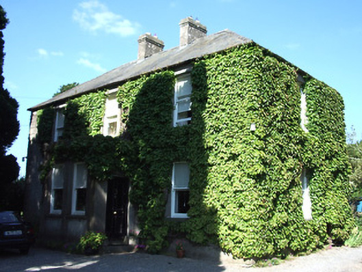 Barnora Househouse · 1262 yd
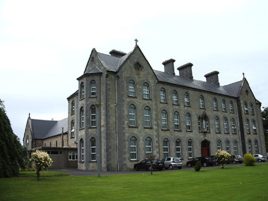 Cahir Convent of Mercyconvent/nunnery · 1292 yd
 Cahir CastleHeritage attraction · 1.0 mi
 Ladys WellHoly well · 1.0 mi
 Castle (in ruins)Castle, unclassified · 1.1 miSiege of Cahir Castlesiege · 1.1 mi
 Caher AbbeyHeritage attraction · 1.1 mi
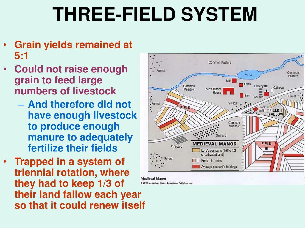 Field system in Caherabbey LowerField system · 1.2 mi
 Loughlohery Beating ChurchCastle · 1.3 mi
 European YewEuropean Yew · 1.5 mi
 Cottagehill WoodForest · 1.6 mi
 Woodcock HillMountain / peak · 3.3 mi