What is recorded here
Killehenny is a univallate ringfort in County Kerry, Ireland, with an internal diameter of 23m. It sits in a large pastoral field near the W fieldbank, much levelled and barely visible today. The bank rises to about .5m in the SE, while the NE sector has vanished entirely. What remains is a faint circular shadow in the grass, a ghost of a boundary drawn in earth.
Internal diameter 23m N-S
Situated in a large pastoral field near the W fieldbank, this univallate rath has been much levelled and is barely visible. All that remains today is a raised circular area, except to the SE where a bank can be distinguished, but the NE sector cannot be distinguished at all. The bank rises to a height of c .5m.
The above description is derived from C. Toal, ‘North Kerry Archaeological Survey’. Dingle. Brandon in association with FAS Training and Employment Authority (1995), no. 239. In certain instances the entries have been revised and updated in the light of recent research.
Date of upload: 2 August 2013
The monument record does not grant public access. Check the route and ask the landowner before entering private land.
- What survives
- Recorded monument
Places near here
 KillehennyChurch · 915 yd
 Crazy GolfHeritage attraction · 951 yd
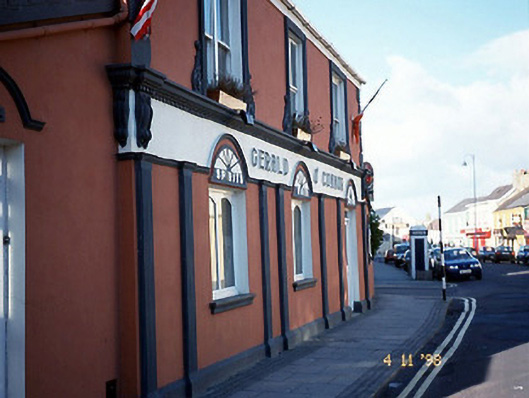 Gerald O'Connorhouse · 1370 yd
 LisnasplankArchaeological place · 1517 yd
 Long StrandBeach / strand · 1561 yd
 Man-made underground passage in BallybunnionMan-made underground passage · 1714 yd
 CastleCastle, tower house · 1736 yd
 Men's BeachBeach / strand · 1745 yd
 PulleenIslet · 1.1 mi
 Ballybunion Cliff PathWalking route · 1.1 mi
 Dookeenee CastleCastle · 1.3 mi
 Doon PointHeadland · 2.2 mi