What is recorded here
Killeena is a place where the ground swallowed its own shape. A circular enclosure, twenty metres across, stood on the south-west-facing slope when the surveyors drew it in 1842. Since then the earth has levelled the ridge until no trace remains. What was visible became invisible, not through destruction but through time. The fort did not fall; it forgot how to be a fort.
On SW-facing slope. Shown on 1842 OS 6-inch map as circular enclosure (diam. c. 20m). Levelled; no visible surface trace.
The above description is derived from the published 'Archaeological Inventory of County Cork. Volume 2: East and South Cork' (Dublin: Stationery Office, 1994). In certain instances the entries have been revised and updated in the light of recent research.
Date of upload/revision: 14 January 2009
The monument record does not grant public access. Check the route and ask the landowner before entering private land.
- What survives
- Recorded monument
Places near here
 Enclosure in KilleenaEnclosure · 629 yd
 IndicatedFairy fort / earthen ringfort · 1158 yd
 Gleeson MemorialMemorial · 1527 yd
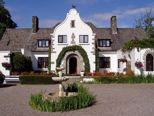
 Country house in Ballynagaul (barrymore By., Kilquane Par.)Country house · 1641 yd
 Ballingohig Bridgebridge · 1.3 mi
 Carberrytown WoodWood · 1.9 mi
 Old Court (Site of)Castle, unclassified · 2.3 mi
 Sarsfields Court (in Ruins)Castle, unclassified · 3.0 mi
 Glanmire Heritage SocietyMemorial · 4.5 mi
 Lough MahonBay · 4.8 mi
 Cork WalksVisitor information · 5.0 mi
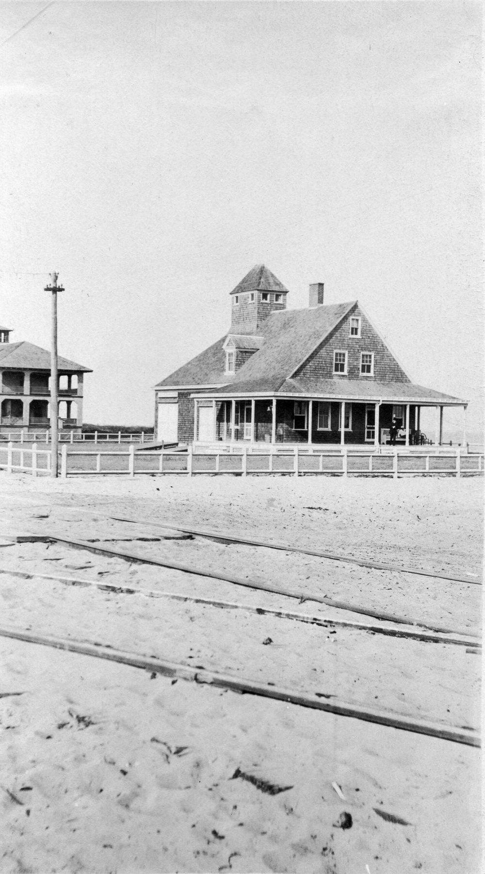 Old coast guard station ruinRuins · 5.2 mi