What is recorded here
No visible trace remains at Killeen (crannagh By.), County Kilkenny. The earth has levelled, covered or scattered what was once there. The absence does not diminish the place; it returns the site to the wider region, where life continued and change belonged everywhere.
The monument was inspected in November 1955 and was described being, 'a double-banked ring-fort, much overgrown with briars. the outer bank has been removed on the E side to make room for a path. The banks are fairly high' (OPW correspondence files, November 1955). An accompanying sketch plan gives an internal diameter of 100' [c. 30m] N-S x 105' [32m] E-W and an overall diameter of 150' [c. 45m] (ibid.). There is a ringfort (KK018-057----) c. 150m to the SW, another (Kk018-056----) c. 440m to the W and an enclosure (KK018-055----) c. 575m to the SW.
Compiled by: Jean Farrelly
Date of upload: 2 July 2020
This remains an important historical record, but the official description says the monument is no longer visible or has been destroyed. The monument record does not grant public access. Check the route and ask the landowner before entering private land.
- What survives
- No visible remains or recorded as destroyed
Places near here
 Killeen Fox CovertForest · 425 yd
 Enclosure in Killeen (crannagh By.)Enclosure · 679 yd
 Enclosure in FoylatalureEnclosure · 1384 yd
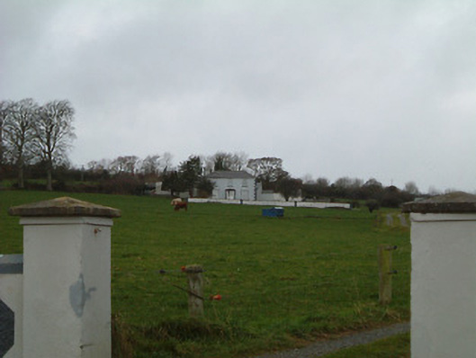 Bansehouse · 1634 yd
 bridgebridge · 1.0 mi
 Castle (in ruins)Castle, unclassified · 1.2 mi
 CastleCastle, unclassified · 1.7 mi
 Common LimeCommon Lime · 2.4 mi
 Warhouse HillMountain / peak · 2.6 mi
 Ballykeefe AmphitheatreHeritage attraction · 2.9 mi
 Ballykeefe QuarryCliff · 2.9 mi
 Ballykeeffe Mass RockNamed rock · 3.0 mi