What is recorded here
Killeedy South held a thirty-metre earthen ring, visible on maps in 1924 but now reduced to a shallow depression in level pasture. The fort likely sheltered people, stored grain or marked local authority before ploughs and boundary changes erased its banks. It disappears only because the land kept being used, not because the story stopped.
In level pasture. Monument, depicted 1924 OS 6-inch map as embanked circular enclosure (diam. c. 30m), has been levelled leaving a slight depression (32m N-S; 38m E-W) in area of site. Field boundaries to N and W of site have been removed.
Compiled by: Denis Power
Date of upload: 26 August 2011
The monument record does not grant public access. Check the route and ask the landowner before entering private land.
- What survives
- Recorded monument
Places near here
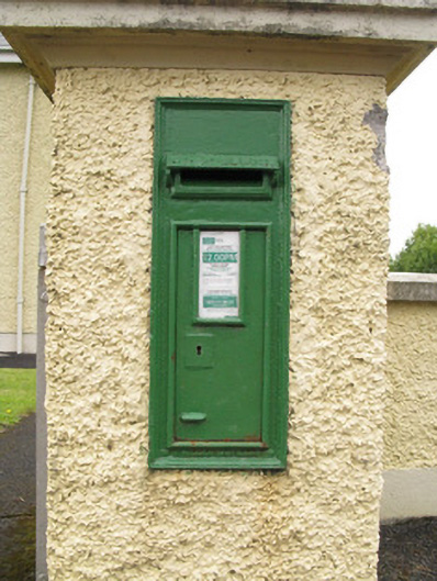 post boxpost box · 473 yd
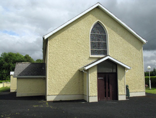 Saint Ita's Catholic Churchchurch/chapel · 487 yd
 Mound in CamasMound · 1.2 mi
 Mass-rock in GortnaclohyMass-rock · 1.2 mi
 Saint Ite's WellSpring · 1.3 mi
 Dotted outlineBawn · 1.4 mi
 Ballagh MountainMountain / peak · 1.5 mi
 Glenduff CastleCastle, tower house · 2.2 mi
 Mullaghareirk - Banane LoopWalking route · 4.2 mi
 Rock HillMountain / peak · 4.9 mi
 ToberhoranSpring · 4.9 mi
 Limerick GreenwayWalking route · 7.0 mi