What is recorded here
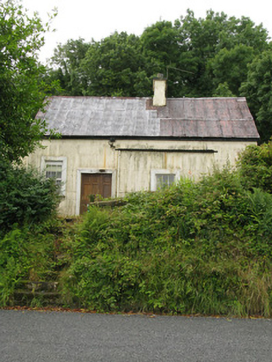
Fairy forts in Killeedy South hide beneath thick bushes, but their round earth banks still mark the boundary. A human may have lived there, raised the ridge and watched the pasture through the gap. The forgoet has not erased the shape, only waited for someone to remember it.
In level pasture. Circular area (diam. c. 30m) enclosed by earthen bank (int. H 0.8m; ext. H 1.75m) with an external fosse (D 0.65m; Wth 2.6m). Much of enclosing element and all of interior is covered by dense overgrowth of trees and bushes. Running E from E edge of enclosure is linear depression; though largely obscured by overgrowth this appears to be a natural feature.
Compiled by: Denis Power
Date of upload: 26 August 2011
A fairy fort / earthen ringfort in Killeedy South is a circular early-medieval defensive or domestic site, likely dating to between the 5th and 10th centuries AD. Local tradition associates such sites with the faé or supernatural beings, and they were often avoided or revered in Irish folklore.
The monument record does not grant public access. Check the route and ask the landowner before entering private land.
- What survives
- Recorded monument
Places near here
 Saint Ite's WellSpring · 892 yd
 Grave YardGraveyard · 908 yd
 Killeedy Church (in ruins)Church · 910 yd
 Dotted outlineBawn · 919 yd
 Ballagh MountainMountain / peak · 1385 yd
 Cantogher Creamerycreamery · 1568 yd
 Mass-rock in GortnaclohyMass-rock · 1.1 mi
 Glenquin CastleCastle · 1.2 mi
 TobereenalaffinaSpring · 4.3 mi
 Barnagh HillMountain / peak · 4.4 mi
 Mullaghareirk - Banane LoopWalking route · 4.7 mi
 Limerick GreenwayWalking route · 6.0 mi