What is recorded here
Clear in Killee, County Cork, a subcircular earthen ringfort stands thirty-nine metres wide above the River Funshion. Its steep outer bank rises one point six metres, while a shallow fosse cuts across the northeast and southeast. The interior slopes gently southward into openness, and trees still line the ancient ridge. People may have lived there before written memory, watching water and weather from a place the land itself shaped.
In pasture, on break in slope above steep incline facing S over River Funshion. Subcircular area (39m E-W; 34m N-S) enclosed by earthen bank (int. H 1.6m; ext. H 1.6m); external fosse (max. D 0.45m) NE->SE. Bank planted with trees; inner face slopes gently down to interior; outer face is steep sided. Interior slopes gently down to S. Field named 'Paddock' on 1842 OS 6-inch map.
The above description is derived from the published 'Archaeological Inventory of County Cork. Volume 4: North Cork' (Dublin: Stationery Office, 2000). In certain instances the entries have been revised and updated in the light of recent research.
Date of upload/revision: 14 January 2009
The monument record does not grant public access. Check the route and ask the landowner before entering private land.
- What survives
- Recorded monument
Places near here
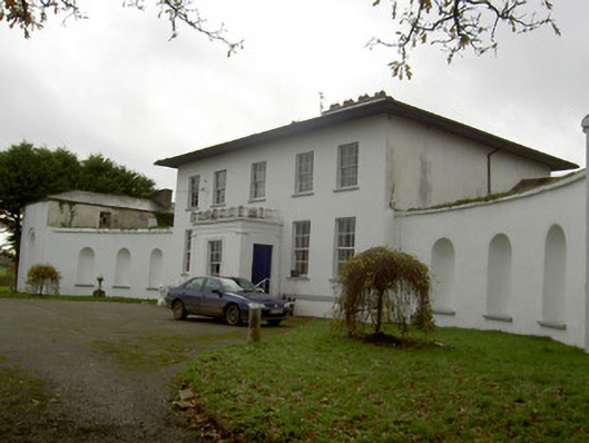 Killee Housecountry house · 773 yd
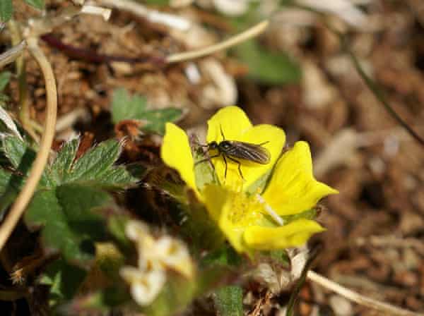 IndicatedHouse, vernacular house · 870 yd
 Grave YardGraveyard · 1213 yd
 Carriganoura Castle (in Ruins)Castle, tower house · 1633 yd
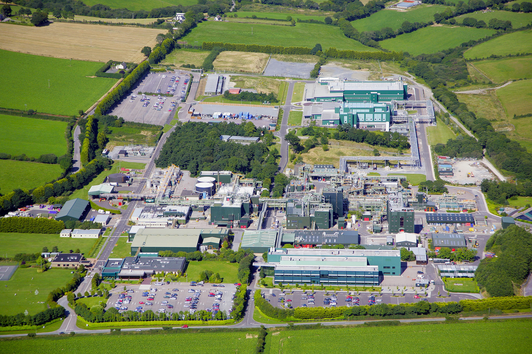 Fulacht fia in Cloghleafin (condons and Clongibbon By., Marshalstown Par.)Fulacht fia · 1.0 mi
 CastleCastle, unclassified · 1.2 mi
 Kilclooney WoodWood · 2.4 mi
 Mitchelstown Town MapVisitor information · 3.1 mi
 John MandevilleMemorial · 3.1 mi
 Flat cemetery in Ballyenahan NorthFlat cemetery · 3.3 mi
 FlagCave · 4.2 mi
 CarrigeenamronetyMountain / peak · 4.6 mi