What is recorded here
Killavarrig holds a circular stone-faced bank twenty-seven metres across, marking a human boundary on the northern slope. The neat ring suggests people lived there long before written records, shaping the earth into a defensible home. Local legend calls it a fairy fort, warning that the boundary belongs to something else now. The gap in the northeast bank still faces the valley, inviting entry or escape depending on which world you inhabit.
In pasture, on break in N-facing slope. Circular area (27.1m N-S; 27.3m E-W) enclosed by stone-faced earthen bank (H 1.1m), with external fosse (D 0.5m) SE->WNW. Gap in bank to NE (Wth 0.5m).
The above description is derived from the published 'Archaeological Inventory of County Cork. Volume 1: West Cork' (Dublin: Stationery Office, 1992). In certain instances the entries have been revised and updated in the light of recent research.
Date of upload/revision: 14 January 2009
The monument record does not grant public access. Check the route and ask the landowner before entering private land.
- What survives
- Recorded monument
Places near here
 IndicatedFairy fort / earthen ringfort · 626 yd
 Michael Collins CentreMuseum · 1262 yd
 Enclosure in Carhoo (ibane and Barryroe By., Timoleague Par.)Enclosure · 1299 yd
 Thrashing MillMill, unclassified · 1601 yd
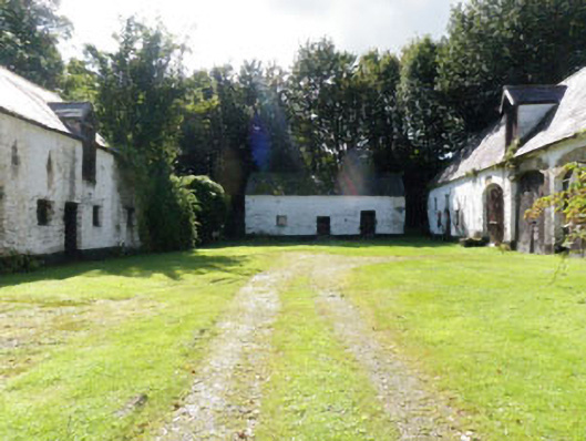 Kilmaloda Housefarmyard complex · 1711 yd
 Ballinoroher CastleCastle · 1.0 mi
 Argideen Loop WalksVisitor information · 1.2 mi
 Castle (Site of)Castle, unclassified · 1.3 mi
 Graveyard in KilmalodaGraveyard · 1.6 mi
 English hollyEnglish holly · 1.7 mi
 Argideen Valley trailVisitor information · 1.7 mi
 Johnny Sheila MurphyMemorial · 1.7 mi