What is recorded here
Killathy holds a vanished ringfort, thirty metres across, buried beneath tillage and forgotten by human memory. The land slopes downward toward the Blackwater River, waiting for rain to reveal the hidden bank through struggling crops. What humans erased, the sky still photographs. The fort is gone locally but not globally, visible only when viewed from above.
In tillage; land slopes down from site to Blackwater River c. 200m away to S. Depicted as hachured roughly circular enclosure (diam. c. 30m) on 1842 OS 6-inch map. Levelled; no visible surface trace of site. Circular enclosure visible as cropmark of bank in aerial photograph (GSIAP, W419).
The above description is derived from the published 'Archaeological Inventory of County Cork. Volume 4: North Cork' (Dublin: Stationery Office, 2000). In certain instances the entries have been revised and updated in the light of recent research.
Date of upload/revision: 14 January 2009
The monument record does not grant public access. Check the route and ask the landowner before entering private land.
- What survives
- Recorded monument
Places near here
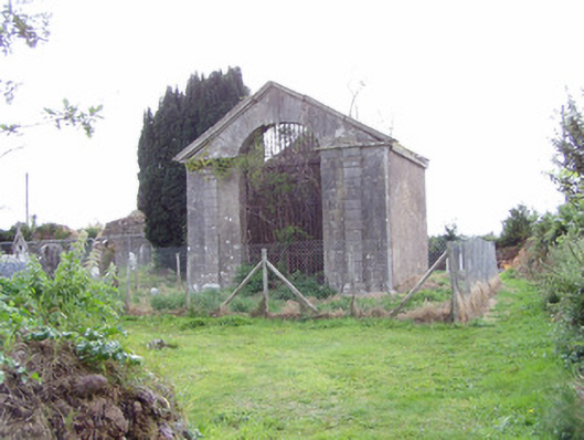 mausoleummausoleum · 559 yd
 Killathy Church (in Ruins)Church · 585 yd
 Cliff-edge fort in TemplenoeCliff-edge fort · 1505 yd
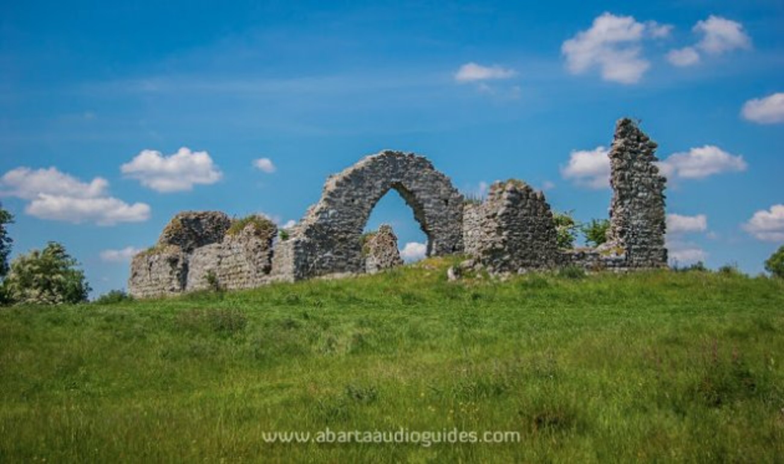 Settlement desertedSettlement deserted, medieval · 1598 yd
 Cregg Castle (in Ruins)Castle, tower house · 1.2 mi
 Ballyhooly CastleCastle · 1.4 mi
 Johnson's WoodForest · 1.7 mi
 Priest's WoodForest · 2.0 mi
 Blackwater (Avondhu) WayWalking route · 2.1 mi
 Cappagh XViewpoint · 2.5 mi
 Liam BurkeMemorial · 2.8 mi
 Graveyard in BoherashGraveyard · 3.2 mi