What is recorded here
Killasona holds a D-shaped ringfort on a terrace above a stream, its earth and stone bank still standing beside a shallow fosse. People called it a fairy fort, perhaps because the steep drop to the flood-plain made the place feel hidden, owned and dangerous. The neat break in the NE bank suggests an entrance, while the rest of the perimeter relies on the cliff itself.
On a natural terrace above the flood-plain of a stream to the SW. This raised D-shaped area (50m NW-SE; 37.5m NE-SW), with a straight SW side, is enclosed by a substantial bank of earth and stone (Wth 4.5-5.9m; H 0.6-1.25m), a shallow intervening fosse (Wth 6.8-8m; D 0.3-0.65m) from WNW-N-SSE and an outer bank (Wth 4-4.5m; H 0.4-1.05m). Elsewhere the defining element is a steep, natural drop (H 3-5m) to the flood-plain below. A break (Wth 5m) in the bank at NE probably marks the original entrance.
Compiled by: Patrick F. O'Donovan
Date of upload: 16 January 2012
The monument record does not grant public access. Check the route and ask the landowner before entering private land.
- What survives
- Recorded monument
Places near here
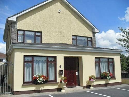 LisnagreeFairy fort / earthen ringfort · 936 yd
 Enclosure in Kilfintan Lower OR CrancamEnclosure · 1244 yd
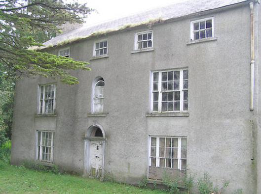 Killasona Housecountry house · 1406 yd
 Site of Castle NugentCastle, unclassified · 1647 yd
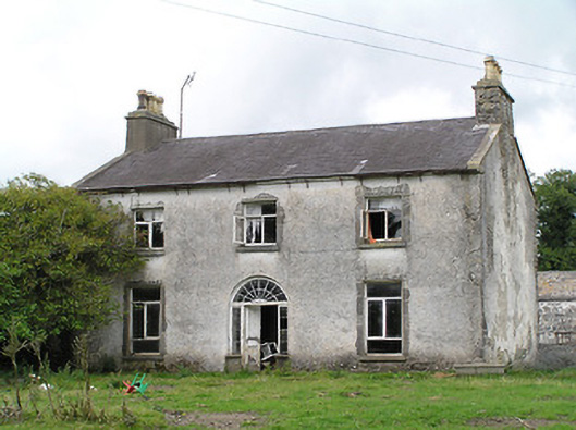 Castle Nugenthouse · 1661 yd
 Coolamber CastleHouse, fortified house · 2.2 mi
 Granard MotteMotte-and-bailey castle remains · 2.5 mi
 1798 Monumentmonument · 2.5 mi
 Clonfin Ambush MemorialMemorial · 4.3 mi
 Cloonfin WoodForest · 5.2 mi
 CarrickMountain / peak · 5.3 mi
 CarrickabaneMountain / peak · 5.3 mi