What is recorded here
Killasona holds a broken earthen ring where a road now cuts through the middle. The remaining banks and deep ditch mark a large enclosed space on a pasture slope, but the entrance and original shape have faded under field work and traffic. It is not a polished monument; it is a lived-in landscape where human hands kept changing the boundary long after the first builder left it behind.
On a NE-facing slope in pasture. A raised circular area (diam. c. 46m) enclosed by a low bank of earth and stone (Wth 4.7m; H 0.1-0.6m), a wide deep intervening fosse (Wth 6.8m; D 1.4m) from W-NW-N and an outer bank (Wth 4-3.8m; H 0.5m). The inner bank has been modified and incorporated into a field boundary from SW-WSW and has been largely levelled at NW and at N. The rath is divided into unequal portions by a modern NE-SW roadway. The original entrance is not recognisable.
Compiled by: Patrick F. O'Donovan
Date of upload: 16 January 2012
The monument record does not grant public access. Check the route and ask the landowner before entering private land.
- What survives
- Recorded monument
Places near here
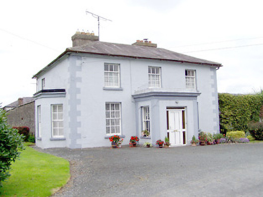 Toneen Lodgehouse · 931 yd
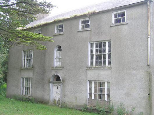 Killasona Housecountry house · 1422 yd
 LisnagreeFairy fort / earthen ringfort · 1656 yd
 BarrowBarrow, bowl-barrow · 1.0 mi
 Site of Castle NugentCastle, unclassified · 1.3 mi
 Moat of GranardCastle, motte and bailey · 2.2 mi
 Granard MotteMotte-and-bailey castle remains · 2.2 mi
 1798 Monumentmonument · 2.3 mi
 Clonfin Ambush MemorialMemorial · 4.5 mi
 CartronfreeMountain / peak · 4.7 mi
 CarrickMountain / peak · 4.9 mi
 Watty's RocksIslet · 5.2 mi