What is recorded here
Killasona held a true ringfort, not a fairy tale, with a solid earth bank, external ditch and eastern entrance. Cattle grazed above the buried chamber while people walked past the field, unaware that walls and rooms still lay beneath the grass. The fort disappeared from sight but never stopped existing, waiting for someone to stop seeing ordinary pasture and start reading the shape beneath it.
In pasture. A report in 1975 (SMR file) recorded a raised subcircular area (c. 34m E-W; c. 30m N-S) enclosed by a low bank of earth and stone with an external fosse. The original entrance was at E. The rath has since been levelled and only the outline of its perimeter, marked by a low scarp (H 0.3-0.6m), is identifiable at ground level.
Compiled by: Patrick F. O'Donovan
Date of upload: 26 August 2011
The monument record does not grant public access. Check the route and ask the landowner before entering private land.
- What survives
- Recorded monument
Places near here
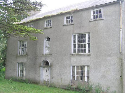 Killasona Housecountry house · 939 yd
 Enclosure in Kilfintan Lower OR CrancamEnclosure · 1048 yd
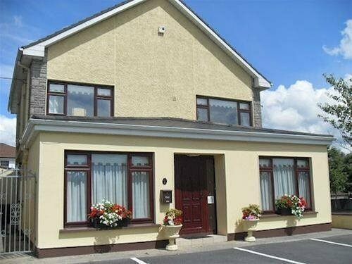 LisnagreeFairy fort / earthen ringfort · 1318 yd
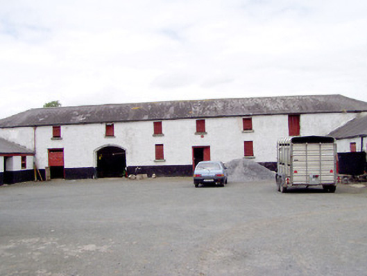 Toneen Lodgeoutbuilding · 1681 yd
 Site of Castle NugentCastle, unclassified · 1.2 mi
 Coolamber CastleHouse, fortified house · 2.1 mi
 Granard MotteMotte-and-bailey castle remains · 2.6 mi
 1798 Monumentmonument · 2.7 mi
 Clonfin Ambush MemorialMemorial · 4.6 mi
 CarrickMountain / peak · 5.2 mi
 CarrickabaneMountain / peak · 5.3 mi
 Watty's RocksIslet · 5.5 mi